Date: Mon Nov 29 2010 - 12:13:03 MST
Dear ncl talkI try to run the vapor but I got this error.I install it as instruction but I do not why it can not find the lib.
wrfvdfcreate: error while loading shared libraries: libvdf.so.1.5.2
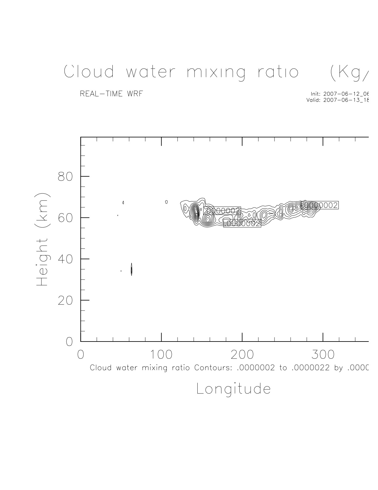
Also I try to plot vertical cross section of cloud but it is going out of picture frame as attach.How can I fix this? and how can I subscribe to ncl talk again.ThanksJAm
setvalues NhlGetWorkspaceObjectId() "wsMaximumSize" : 435544320 end setvalues
; Set some Basic Plot options res = True
res@MainTitle = "REAL-TIME WRF"
pltres = True mpres = True map = wrf_map(wks,a,mpres)
;;;;;;;;;;;;;;;;;;;;;;;;;;;;;;;;;;;;;;;;;;;;;;;;;;;;;;;;;;;;;;;;
;;;;;;;;;;;;;;;;;;;;;;;;;;;;;;;;;;;;;;;;;;;;;;;;;;;;;;;;;;;;;;;;
; What times and how many time steps are in the data set? times = wrf_user_list_times(a) ; get times in the file
ntimes = dimsizes(times) ; number of times in the file; ntimes = 1;;;;;;;;;;;;;;;;;;;;;;;;;;;;;;;;;;;;;;;;;;;;;;;;;;;;;;;;;;;;;;;;
res@TimeLabel = times(0) ; Set Valid time to use on plots
;;;;;;;;;;;;;;;;;;;;;;;;;;;;;;;;;;;;;;;;;;;;;;;;;;;;;;;;;;;;;;;;
gsn_define_colormap(wks,"WhBlGrYeRe") ; choose a colormap opts = res
opts@tiXAxisString = "Longitude" opts@tiYAxisString = "Height (km)" opts@cnFillOn = TrueHi AnilDo you have a chance to look at the hrldas gem for me yet?
I have another question. Hsini gave me the code for plotting QCLOUD vertical.But when I plot it it was out of frame.How can I make it into the frame?ThanksJam
opts@cnFillOn = True ; color plot desired
opts@cnLinesOn = False ; turn off contour lines
opts@cnLineLabelsOn = False ; turn off contour labels
opts@cnLevelSelectionMode = "ExplicitLevels" ; explicit [unequal] cn levels res@cnLevels = (/0,0.001,0.002,0.003,0.004,0.005/)
; opts@ContourParameters = (/ 0.01 /) opts@lbBoxLinesOn = False res@cnLabelBarEndStyle = "IncludeMinMaxLabels" ; turn on end labels
; pressure = 850. ; 850 hPa
do it = 0, ntimes-1 ; TERRAIN; p = wrf_user_getvar(a,"pressure",it) z = wrf_user_getvar(a,"z",it) xlon = wrf_user_getvar(a, "XLONG",0)
ter = wrf_user_getvar(a,"QCLOUD",it)
loca = wrf_user_latlon_to_ij(a, 38, -95.0) locb = wrf_user_latlon_to_ij(a, 38, -110.0) print(loca)
print(locb)
plane = (/ loca(0),loca(1) ,locb(0),locb(1) /) ; approx. START x;y and END x;y point
_______________________________________________
ncl-talk mailing list
List instructions, subscriber options, unsubscribe:
http://mailman.ucar.edu/mailman/listinfo/ncl-talk