Date: Mon Jan 03 2011 - 18:59:03 MST
Hi,
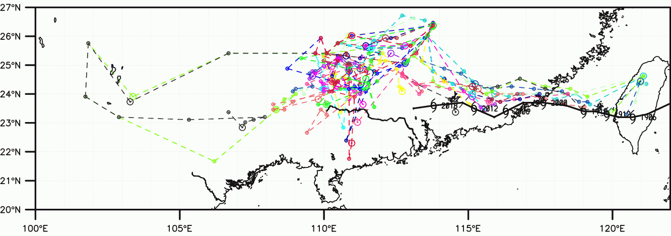
I am making a plot with customizable LatLon corners with the help of
mpLimitMode resources (set to "Corners"). I noticed NCL self-defines the
axis width/height and sometimes I get a "narrow" image. The attached image
is an example that, the lontitude axis is much wider than desired.
I tried to fix this with gsnMajorLatSpacing but it seems it is not a correct
one (I got "warning:gsnMajorLatSpacing is not a valid resource in
test_vector at this time")
Is there any resource attribute to do this? Thanks a lot.
Regards,
Samuel Leung
_______________________________________________
ncl-talk mailing list
List instructions, subscriber options, unsubscribe:
http://mailman.ucar.edu/mailman/listinfo/ncl-talk