Date: Wed Aug 03 2011 - 23:54:24 MDT
I am confused by this resource as the examples are not consistent with its use and I don't really understand what it does in the absence of an underlying map as on the attached windgram plots.
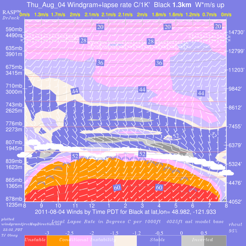
I have attached two of my windgrams, one produced without any mention of vcMapDirection which therefore would use the true default, and the other with
uv_res@vcMapDirection=false. As you can see they are nearly but not exactly identical. (gwenview or something similar next prev to rock between them)
On the NCAR site, the 1 special example meteo.ncl uses uv_res@vcMapDirection=false. The 5 wrf_meteo(1-5).ncl omit the resource. Which is "correct."
What would I expect the effects to be?
Thanks for you help.
TJ Olney
--
Abbreviated current observation pages for mobile devices.: Blanchard North | Tiger | Ft Ebey | East Side
Full Blanchard Page | Full FtEbey Page | ASP
| All
Windgrams |
Blipspots
ASP
| All
Windgrams |
Blipspots
Abbreviated current observation pages for mobile devices.: Blanchard North | Tiger | Ft Ebey | East Side
Full Blanchard Page | Full FtEbey Page |
_______________________________________________
ncl-talk mailing list
List instructions, subscriber options, unsubscribe:
http://mailman.ucar.edu/mailman/listinfo/ncl-talk