Hi Don,
I was able to reproduce your problem and have filed a critical ticket on it (NCL-1943).
The only work-around I can come up with is to draw the line in two separate pieces:
equa1 = gsn_add_polyline(wks,plot,(/-180,0/),(/0,0/),resp)
equa2 = gsn_add_polyline(wks,plot,(/0,180/),(/0,0/),resp)
We will likely release a V6.2.1 to fix some bugs in V6.2.0, and this will be high on the list.
—Mary
On Apr 15, 2014, at 9:07 AM, Don Murray (NOAA Affiliate) <don.murray@noaa.gov> wrote:
> Hi-
>
> I have a script that has been running fine under NCL 6.1.2, but now is
> not acting the same under 6.2.0. The part that isn't working is drawing
> a polyline along the equator. The relevant code is:
>
> plot = gsn_csm_contour_map(wks,data,rescf) ; color-filled
> if (.not.isanom) then
> plot1 = gsn_csm_contour(wks,data,rescn) ; contours
> overlay(plot,plot1)
> end if
> dlin = gsn_add_polyline(wks,plot,(/180,180/),(/-90,90/),resp) ; dateline
> equa = gsn_add_polyline(wks,plot,(/0,360/),(/0,0/),resp) ; equator
> draw(plot)
> draw(lbid)
> gsn_text_ndc(wks,"NOAA/ESRL/PSD",0.088,0.190,restx)
> if (isanom) then
> gsn_text_ndc(wks,"Base Period: "+baseDateString,0.52,0.190,restxa)
> end if
> frame(wks)
>
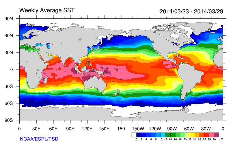
> In this script, a line is drawn at the dateline and the equator:
>
> http://www.esrl.noaa.gov/psd/map/images/sst/sst.20140316.gif
>
> Since upgrading to NCL 6.2.0, the equator line is missing:
>
> http://www.esrl.noaa.gov/psd/map/images/sst/sst.20140323.gif
>
> If I print out the data summary, it looks like:
>
> Variable: data (parameter)
> Type: float
> Total Size: 259200 bytes
> 64800 values
> Number of Dimensions: 2
> Dimensions and sizes: [lat | 180] x [lon | 360]
> Coordinates:
> lat: [89.5..-89.5]
> lon: [0.5..359.5]
> Number Of Attributes: 18
> time : 78257
> long_name : Weekly Mean of Sea Surface Temperature
> unpacked_valid_range : ( -5, 40 )
> actual_range : ( -1.8, 35.63 )
> units : degC
> missing_value_original : 32767
> precision : 2
> least_significant_digit : 2
> var_desc : Sea Surface Temperature
> dataset : NOAA Optimum Interpolation (OI) SST V2
> level_desc : Surface
> statistic : Weekly Mean
> parent_stat : Individual obs
> standard_name : sea_surface_temperature
> _FillValue_original : 32767
> _FillValue : 32767
> valid_range : ( -5, 40 )
> missing_value : 32767
>
>
> I tried adjusting the x values to be (/1,359/), but still no line across
> the plot.
>
> Thoughts on what could be going wrong?
>
> Don
> --
> Don Murray
> NOAA/ESRL/PSD and CU-CIRES
> 303-497-3596
> http://www.esrl.noaa.gov/psd/people/don.murray/
> _______________________________________________
> ncl-talk mailing list
> List instructions, subscriber options, unsubscribe:
> http://mailman.ucar.edu/mailman/listinfo/ncl-talk
_______________________________________________
ncl-talk mailing list
List instructions, subscriber options, unsubscribe:
http://mailman.ucar.edu/mailman/listinfo/ncl-talk
Received on Tue Apr 15 09:56:48 2014
This archive was generated by hypermail 2.1.8 : Tue Apr 15 2014 - 10:45:19 MDT