Date: Tue May 13 2014 - 13:51:25 MDT
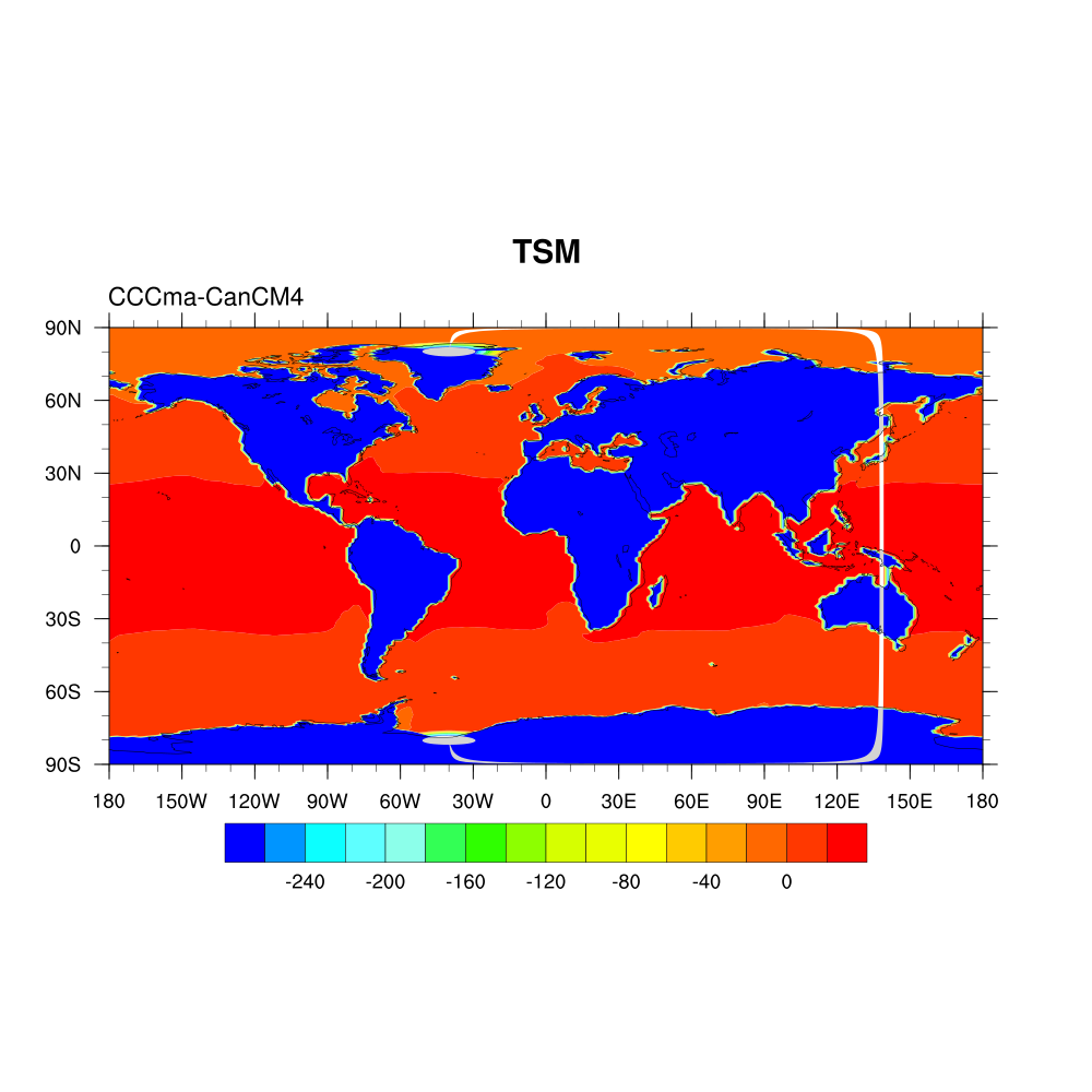
It worked, but not this plotting correctly on the map, the graph is strange
---Vanúcia SchumacherMestranda em Meteorologia - UFVMeteorologista -UFPel
Departamento de Meteorologia Agrícola - DEACel: (31) 9978 2522 DEA: (31) 3899 1890
> Subject: Re: [ coordinates : lat lon (0) check_for_y_lat_coord: Warning: Data either does not contain a valid latitude coordinate array or doesn't contain one at all...
> From: haley@ucar.edu
> Date: Tue, 13 May 2014 13:42:12 -0600
> CC: ncl-talk@ucar.edu
> To: vanucia-schumacher@hotmail.com
>
> Sorry, I had a typo. I had you do this:
>
> > media@lat2d=f[:]->lat
> > media@lon2d=f[:]->lon
>
> when it should be:
>
> > media@lat2d=f[0]->lat
> > media@lon2d=f[0]->lon
>
>
> Note, and this is important: this assumes that your lat/lon values are the same across all data files. Is this the case?
>
> --Mary
>
> On May 13, 2014, at 1:26 PM, Vanúcia Schumacher <vanucia-schumacher@hotmail.com> wrote:
>
> > Hi Mary,
> >
> > I did what you suggested, but now new error appeared:
> >
> > fatal:Eq: Dimension size, for dimension number 0, of operands does not match, can't continue
> >
> > fatal:["Execute.c":7743]:Execute: Error occurred at or near line 887 in file $NCARG_ROOT/lib/ncarg/nclscripts/csm/gsn_csm.ncl
> >
> > fatal:["Execute.c":7743]:Execute: Error occurred at or near line 1508 in file $NCARG_ROOT/lib/ncarg/nclscripts/csm/gsn_csm.ncl
> >
> > fatal:["Execute.c":7743]:Execute: Error occurred at or near line 6845 in file $NCARG_ROOT/lib/ncarg/nclscripts/csm/gsn_csm.ncl
> >
> > fatal:["Execute.c":7743]:Execute: Error occurred at or near line 57 in file tsm.ncl
> >
> > Look data print:
> >
> > dimensions:
> > time = 360 // unlimited
> > j = 149
> > i = 182
> > bnds = 2
> > vertices = 4
> > variables:
> > double time ( time )
> > bounds : time_bnds
> > units : days since 1981-01-01 00:00:00
> > calendar : noleap
> > axis : T
> > long_name : time
> > standard_name : time
> >
> > double time_bnds ( time, bnds )
> >
> > integer j ( j )
> > units : 1
> > long_name : cell index along second dimension
> >
> > integer i ( i )
> > units : 1
> > long_name : cell index along first dimension
> >
> > float lat ( j, i )
> > standard_name : latitude
> > long_name : latitude coordinate
> > units : degrees_north
> > bounds : lat_vertices
> >
> > float lon ( j, i )
> > standard_name : longitude
> > long_name : longitude coordinate
> > units : degrees_east
> > bounds : lon_vertices
> >
> > float lat_vertices ( j, i, vertices )
> > units : degrees_north
> >
> > float lon_vertices ( j, i, vertices )
> > units : degrees_east
> >
> > float tos ( time, j, i )
> > standard_name : sea_surface_temperature
> > long_name : Sea Surface Temperature
> >
> >
> > Script:
> >
> > load "$NCARG_ROOT/lib/ncarg/nclscripts/csm/gsn_code.ncl"
> > load "$NCARG_ROOT/lib/ncarg/nclscripts/csm/gsn_csm.ncl"
> > load "$NCARG_ROOT/lib/ncarg/nclscripts/csm/contributed.ncl"
> >
> > begin
> >
> > fils = systemfunc("ls *.nc")
> > f = addfiles(fils, "r")
> > ListSetType(f,"join")
> > t =f[:]->tos(:,0,:,:)
> > tsm = t - 273.15
> > copy_VarCoords(t, tsm)
> > media= dim_avg_n_Wrap(tsm, 0)
> >
> > media@lat2d=f[:]->lat
> > media@lon2d=f[:]->lon
> >
> > wkstype= "png"
> > wkstype@wkWidth = 1000
> > wkstype@wkHeight = 1000
> > wks = gsn_open_wks(wkstype,"tsm")
> > gsn_define_colormap(wks,"BlAqGrYeOrRe")
> > res = True
> > ;res@mpMinLonF = 0
> > ;res@mpMaxLonF = 360
> > ;res@mpCenterLonF = 180
> > res@tiMainString = "TSM"
> > res@gsnLeftString = "CCCma-CanCM4"
> > res@cnLinesOn = False
> > res@cnFillOn = True
> > plot = gsn_csm_contour_map_ce(wks,media,res)
> > end
> >
> >
> >
> >
> > ---
> > Vanúcia Schumacher
> > Mestranda em Meteorologia - UFV
> > Meteorologista -UFPel
> > Departamento de Meteorologia Agrícola - DEA
> > Cel: (31) 9978 2522
> > DEA: (31) 3899 1890
> >
> >
> > > Subject: Re: ERROR[ coordinates : lat lon (0) check_for_y_lat_coord: Warning: Data either does not contain a valid latitude coordinate array or doesn't contain one at all...
> > > From: haley@ucar.edu
> > > Date: Tue, 13 May 2014 09:47:28 -0600
> > > CC: ncl-talk@ucar.edu
> > > To: vanucia-schumacher@hotmail.com
> > >
> > > Vanúcia,
> > >
> > > It looks to me like you have a curvilinear grid and not a rectilinear grid, so you are going to be unable to use coordinate arrays, which is what you were trying to do with this code:
> > >
> > > > >lat = f[:]->i
> > > > >lon = f[:]->j
> > > > > t&i = lat
> > > > >t&j = lon
> > >
> > > The "printVarSummary" of "t" indicates that your "t" variable has coordinates called "lat" and "lon", and hopefully these are on the file, and are two-dimensional. If so, try this (UNTESTED):
> > >
> > > load "$NCARG_ROOT/lib/ncarg/nclscripts/csm/gsn_code.ncl"
> > > load "$NCARG_ROOT/lib/ncarg/nclscripts/csm/gsn_csm.ncl"
> > > load "$NCARG_ROOT/lib/ncarg/nclscripts/csm/contributed.ncl"
> > >
> > > begin
> > > fils = systemfunc("ls *.nc")
> > > f = addfiles(fils, "r")
> > > ListSetType(f,"join")
> > > t =f[:]->tos(:,0,:,:
> > >
> > > tsm = t - 273.15
> > > media= dim_avg_n_Wrap(tsm, 0)
> > > media@lat2d = lat = f[:]->lat
> > > media@lon2d = f[:]->lon
> > > res = True
> > > plot = gsn_csm_contour_map_ce(wks,media,res)
> > > end
> > >
> > >
> > > Note that I'm not setting any plot options via "res" here, so you are going to get a very bare-bones plot.
> > >
> > > For a sample of some plot options you might want to set, see the templates at:
> > >
> > > http://www.ncl.ucar.edu/Applications/Templates/#PlotsOverMapsTemplates
> > >
> > > In particular, look at "contour_map_template.ncl".
> > >
> > > --Mary
> > >
> > > On May 12, 2014, at 1:35 PM, Vanúcia Schumacher <vanucia-schumacher@hotmail.com> wrote:
> > >
> > > > Hi users,
> > > >
> > > > I'll trying to plot global map, but lat and lon have different names in variable:
> > > >
> > > > >load "$NCARG_ROOT/lib/ncarg/nclscripts/csm/gsn_code.ncl"
> > > > >load "$NCARG_ROOT/lib/ncarg/nclscripts/csm/gsn_csm.ncl"
> > > > >load "$NCARG_ROOT/lib/ncarg/nclscripts/csm/contributed.ncl"
> > > >
> > > > >begin
> > > > >fils = systemfunc("ls *.nc")
> > > > >f = addfiles(fils, "r")
> > > > >ListSetType(f,"join")
> > > >
> > > > >t =f[:]->tos(:,0,:,:)
> > > >
> > > > >lat = f[:]->i
> > > > >lon = f[:]->j
> > > > > t&i = lat
> > > > >t&j = lon
> > > > >tsm = t - 273.15
> > > > >media= dim_avg_n_Wrap(tsm, 0)
> > > > >plot = gsn_csm_contour_map_ce(wks,media,res)
> > > > >end
> > > >
> > > > >printVarSummary(t)
> > > >
> > > >
> > > > Variable: t
> > > > Type: float
> > > > Total Size: 108472 bytes
> > > > 27118 values
> > > > Number of Dimensions: 3
> > > > Dimensions and sizes: [ncl_join | 1] x [j | 149] x [i | 182]
> > > > Coordinates:
> > > > j: [1..149]
> > > > i: [1..182]
> > > > Number Of Attributes: 14
> > > > time : 15.5
> > > > standard_name : sea_surface_temperature
> > > > long_name : Sea Surface Temperature
> > > > comment : "this may differ from ""surface temperature"" in regions of sea ice."
> > > > units : K
> > > > original_name : sosstsst
> > > > original_units : degC
> > > > history : 2011-11-09T14:11:22Z altered by CMOR: Converted units from 'degC' to 'K'. 2011-11-09T14:11:22Z altered by CMOR: replaced missing value flag (9.96921e+36) with standard missing value (1e+20).
> > > > cell_methods : time: mean (interval: 30 minutes)
> > > > cell_measures : area: areacello
> > > > missing_value : 1e+20
> > > > _FillValue : 1e+20
> > > > associated_files : baseURL: http://cmip-pcmdi.llnl.gov/CMIP5/dataLocation gridspecFile: gridspec_ocean_fx_IPSL-CM5A-LR_decadal1980_r0i0p0.nc areacello: areacello_fx_IPSL-CM5A-LR_decadal1980_r0i0p0.nc
> > > > coordinates : lat lon
> > > > (0) check_for_y_lat_coord: Warning: Data either does not contain a valid latitude coordinate array or doesn't contain one at all.
> > > > (0) A valid latitude coordinate array should have a 'units' attribute equal to one of the following values:
> > > > (0) 'degrees_north' 'degrees-north' 'degree_north' 'degrees north' 'degrees_N' 'Degrees_north' 'degree_N' 'degreeN' 'degreesN' 'deg north'
> > > > (0) check_for_lon_coord: Warning: Data either does not contain a valid longitude coordinate array or doesn't contain one at all.
> > > > (0) A valid longitude coordinate array should have a 'units' attribute equal to one of the following values:
> > > > (0) 'degrees_east' 'degrees-east' 'degree_east' 'degrees east' 'degrees_E' 'Degrees_east' 'degree_E' 'degreeE' 'degreesE' 'deg east'
> > > >
> > > > Help me!
> > > >
> > > > ---
> > > > Vanúcia Schumacher
> > > > Mestranda em Meteorologia - UFV
> > > > Meteorologista -UFPel
> > > > Departamento de Meteorologia Agrícola - DEA
> > > > Cel: (31) 9978 2522
> > > > DEA: (31) 3899 1890
> > > > _______________________________________________
> > > > ncl-talk mailing list
> > > > List instructions, subscriber options, unsubscribe:
> > > > http://mailman.ucar.edu/mailman/listinfo/ncl-talk
> > >
> > _______________________________________________
> > ncl-talk mailing list
> > List instructions, subscriber options, unsubscribe:
> > http://mailman.ucar.edu/mailman/listinfo/ncl-talk
>
_______________________________________________
ncl-talk mailing list
List instructions, subscriber options, unsubscribe:
http://mailman.ucar.edu/mailman/listinfo/ncl-talk