Hi Michael,
I'm afraid NCL doesn't have a 3D topo map capability.
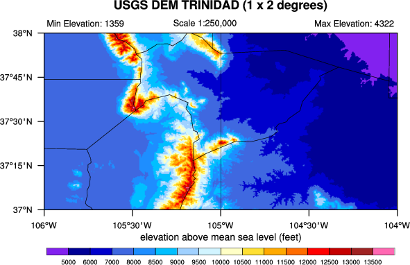
As a side, you can do 2D topo maps. To see an example, please see:
http://www.pyngl.ucar.edu/Examples/Images/topo1.0.png
This was generated from using a Python script, which uses PyNGL, a
Python interface to NCL graphics. The original code was in NCL,
however, so I can provide that if anybody is interested. (I'm hoping
to add it to the NCL applications page.)
--Mary
On Fri, 13 Oct 2006, Michael Notaro wrote:
> Does anyone have an example of an NCL script to plot a 3-D map of topography,
> for example?
> I realize that NCL has limited 3-D capabilities and most examples are shown
> for 3-D shapes,
> rather than 3-D patterns over a spatial map. If not, what is a good
> alternative to NCL to do this?
>
> Thanks, Michael
> _______________________________________________
> ncl-talk mailing list
> ncl-talk_at_ucar.edu
> http://mailman.ucar.edu/mailman/listinfo/ncl-talk
>
_______________________________________________
ncl-talk mailing list
ncl-talk_at_ucar.edu
http://mailman.ucar.edu/mailman/listinfo/ncl-talk
Received on Mon Oct 16 2006 - 10:44:31 MDT
This archive was generated by hypermail 2.2.0 : Mon Oct 16 2006 - 22:16:12 MDT