Date: Mon Oct 14 2013 - 17:10:25 MDT
Attached.
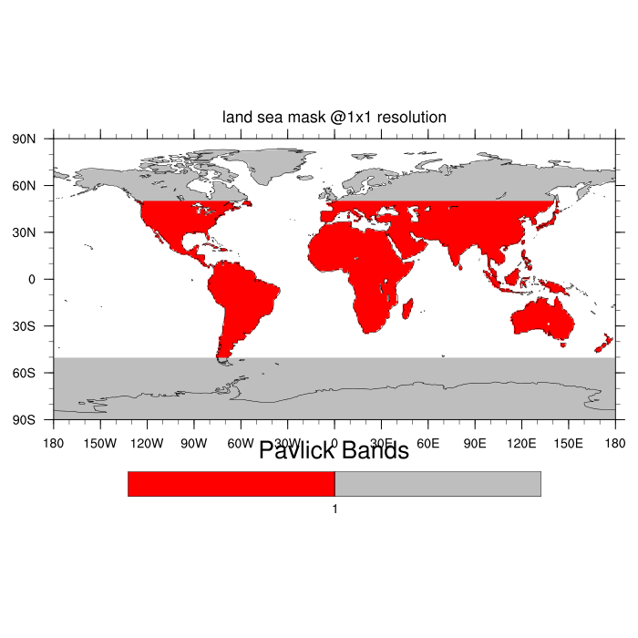
This uses:
http://www.ncl.ucar.edu/Document/Functions/Shea_util/landsea_mask.shtml
See Example 5 at:
http://www.ncl.ucar.edu/Applications/mask.shtml
Cheers
On 10/14/13 4:02 PM, Ryan Pavlick wrote:
> Is there a way to create a blank map with gsn_csm_map_ce and have a
> different land fill color between two latitudes?
>
> The end result would be a map of the earth where all of the land between
> 50S and 50N was red, and the land above/below 50 degrees is grey.
>
> Thanks,
> Ryan
>
>
>
> _______________________________________________
> ncl-talk mailing list
> List instructions, subscriber options, unsubscribe:
> http://mailman.ucar.edu/mailman/listinfo/ncl-talk
>
_______________________________________________
ncl-talk mailing list
List instructions, subscriber options, unsubscribe:
http://mailman.ucar.edu/mailman/listinfo/ncl-talk
- text/plain attachment: RyanPavlick.ncl