Date: Sun Mar 30 2014 - 15:51:30 MDT
Dear Sir/Madam,
I am trying to interpolate WRF output to higher and, maybe, lower
resolution in degrees through NCL program. For example, from 10 KM to 0.5
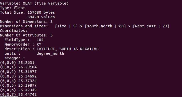
degree. As you absolutely know these data ,optionally, are not in degrees
and, against girded data, have 2-detrimental array for both latitude and
longitude, as attached blow.
I really need to find this function not only to manipulate WRF outputs, but
MODIS images which have the same projection.
Regards,
--
===========================================
Seyed Omid Nabavi;
PhD student, University of Vienna,
Faculty of Earth Sciences, Geography and Astronomy
Department of Geography and Regional Research
UZA II Althanstrasse 14 A-1010 Vienna
Uni. Email: a1276905@unet.univie.ac.at
===========================================
_______________________________________________
ncl-talk mailing list
List instructions, subscriber options, unsubscribe:
http://mailman.ucar.edu/mailman/listinfo/ncl-talk