Date: Wed May 09 2012 - 05:45:35 MDT
Dear all,
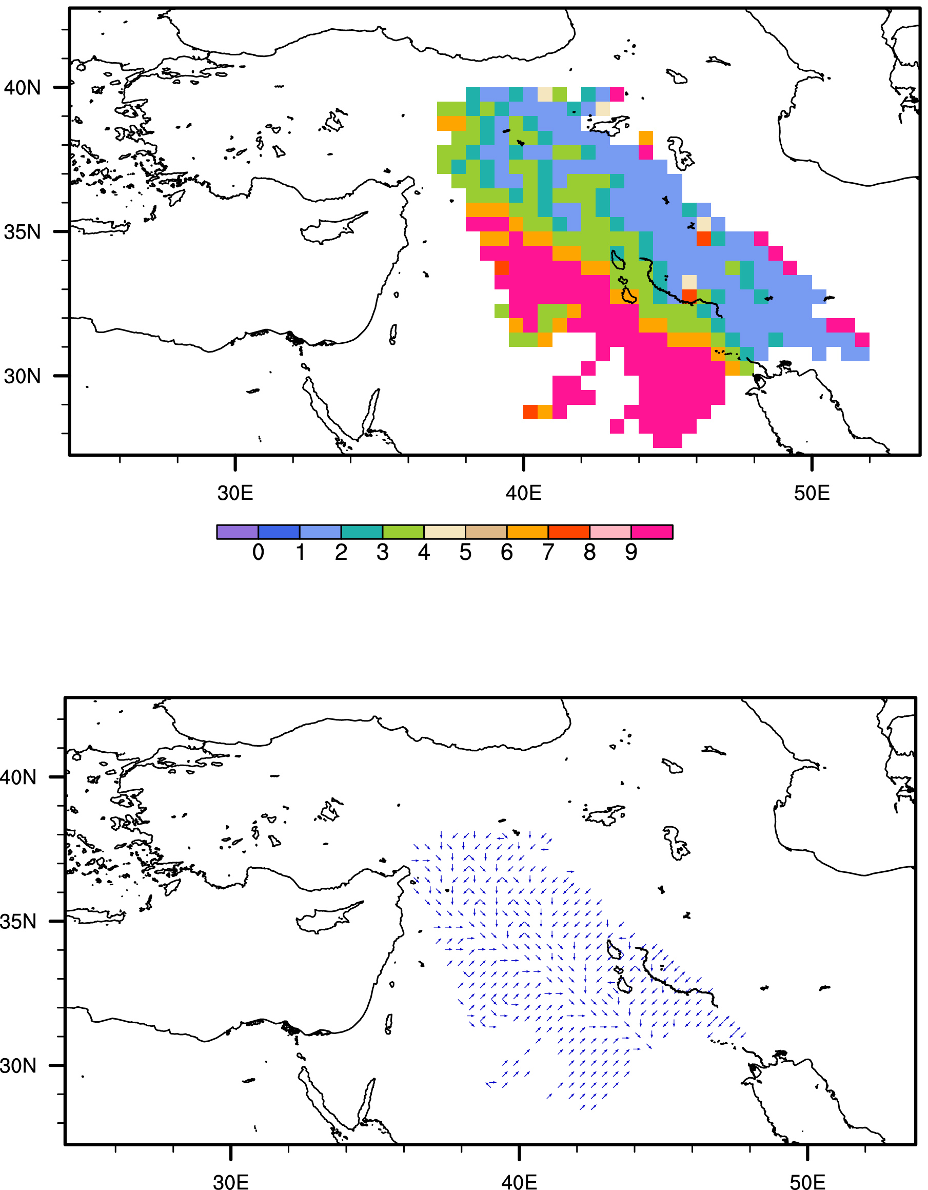
I have a script that plots river directions in a basin. When I try to
plot the river directions in terms of raster mode, it exactly overlaps
with map. However, when I try to plot the river directions in terms of
vector symbols with corresponding directions by using the "wmlabs"
function, there is a strange shifting in river direction grids over
the map. The plots and script are attached. Could anyone help me fix
that problem?
Thanks in advance,
deniz
_______________________________________________
ncl-talk mailing list
List instructions, subscriber options, unsubscribe:
http://mailman.ucar.edu/mailman/listinfo/ncl-talk
- text/plain attachment: rivdir_grid_direction.ncl