Date: Wed Nov 07 2012 - 04:55:18 MST
Hello,
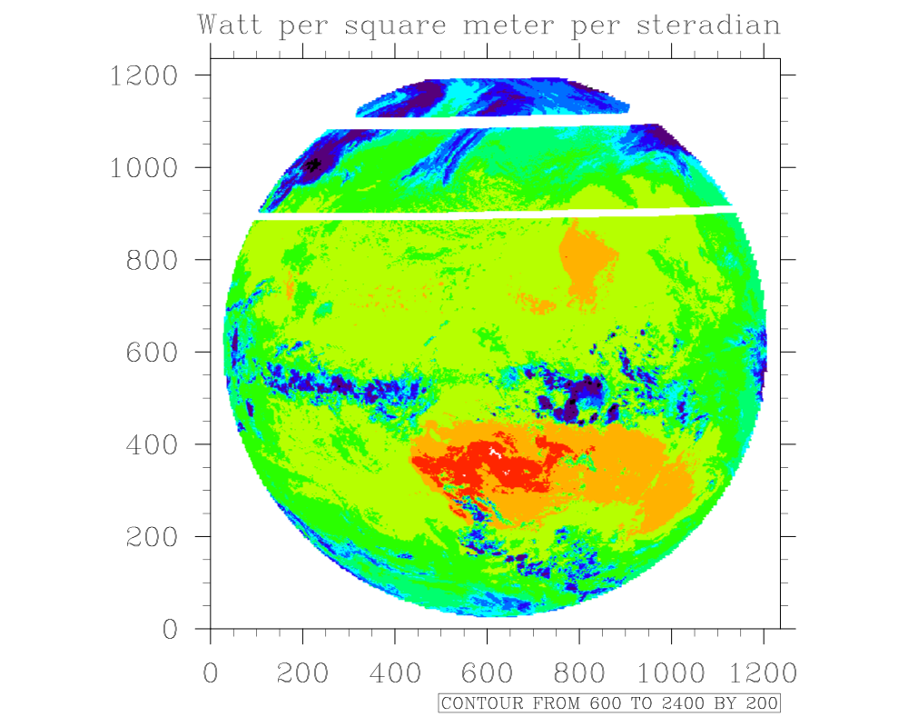
I started to use data in hdf5 format from the geostationary satellite imager GERB. Data is on a circular area and has missing values around. Also the lat/lon data file has these missing values around which leads to difficulties.
What would you recommend to transform this data into a regular lat/lon grid.
Cheers,
Michi
_______________________________________________
ncl-talk mailing list
List instructions, subscriber options, unsubscribe:
http://mailman.ucar.edu/mailman/listinfo/ncl-talk