Hi Marcos,
If you have the latitude and longitude coordinates for the outlines of
the Brazilian states, NCL could draw them for you. An example of this is
shown here where the Indian meteorological subdivisions are plotted:
http://www.ncl.ucar.edu/Applications/polyg.shtml#ex9
http://www.ncl.ucar.edu/Applications/polyg_9_lg.png
I do not believe that NCL has the Brazilian states included in its map
databases, but someone please correct me if that isn't true.
Adam
Marcos Paulo Pereira wrote:
>
> hello,
> it would like to know, as I I obtain the contour of division of the
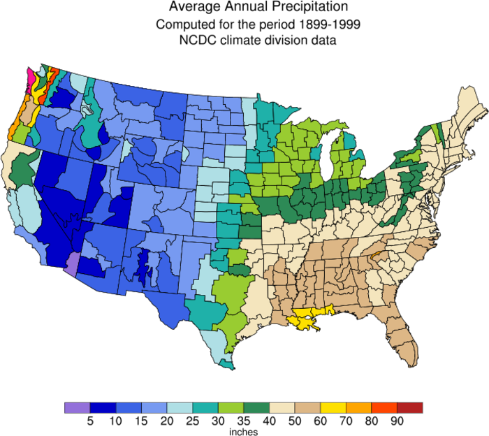
> states of Brazil as was made with U.S.A.? debtor
> http://www.ncl.ucar.edu/Applications/Images/polyg_2_lg.png
> good
>
>
>
>
> ------------------------------------------------------------------------
> O Windows Live Messenger chegou! Insta-le já!
> <http://g.msn.com/8HMBBRBR/2737??PS=47575>
>
>
> ------------------------------------------------------------------------
>
> _______________________________________________
> ncl-talk mailing list
> ncl-talk_at_ucar.edu
> http://mailman.ucar.edu/mailman/listinfo/ncl-talk
--
--------------------------------------------------------------
Adam Phillips			             asphilli_at_ucar.edu
National Center for Atmospheric Research   tel: (303) 497-1726
ESSL/CGD/CAS                               fax: (303) 497-1333
P.O. Box 3000
Boulder, CO 80307-3000	  http://www.cgd.ucar.edu/cas/asphilli
_______________________________________________
ncl-talk mailing list
ncl-talk_at_ucar.edu
http://mailman.ucar.edu/mailman/listinfo/ncl-talk
Received on Tue Aug 22 2006 - 17:15:25 MDT
This archive was generated by hypermail 2.2.0 : Thu Aug 24 2006 - 11:35:02 MDT