Hi Kyle,
I apologize for the delay but I did implement automatic adjustment of Southern hemisphere wind barbs recently and this feature will be available in the next release of NCL.
The catch for users of WRF NCL scripts in particular is that this feature depends on the vector plotting routine having access to the lat/lon coordinates of the vector locations. Most (all??) of the WRF routines use the NDCOverlay method where the plot is drawn in index space and the map projection is tailored to match the native space of the grid. In this case the vector routine has no knowledge of its geophysical coordinates and therefore cannot adjust for the southern hemisphere. There is a relatively straightforward technique, using the datatondc and ndctodata procedures, that can be used to create coordinate arrays from a properly aligned "native" plot object. I think there is an example of this floating around, but I am not sure where at the moment. However, it might require some tweaking of the WRF code to get it to accept coordinate arrays for the vector scripts.
Hope this helps. If you would like to get a current development version prior to the next release (scheduled for sometime in April) that can probably be arranged.
-dave
On Mar 15, 2012, at 5:21 PM, Kyle Griffin wrote:
> Hi all,
>
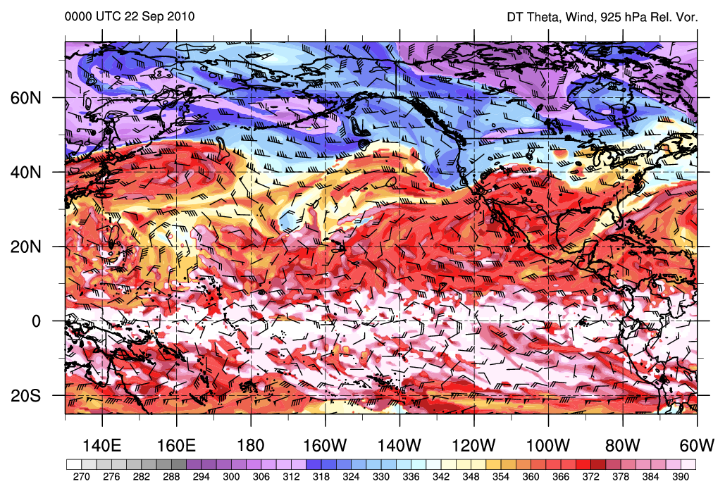
> I want to highlight an additional issue with the plotting of wind barbs with Southern Hemisphere orientation in cross-equator plots. This message has been on the list before, and I developed a workaround similar to the one that was present on the list (e.g. http://www.ncl.ucar.edu/Support/talk_archives/2010/1456.html and http://www.ncl.ucar.edu/Support/talk_archives/2010/1299.html). However, if one breaks the vector plots into two separate plots, vectors separated by a vcMinDistanceF setting are present everywhere except along the equator, where the barbs are very close and could even overlap if sufficient meridional flow was present. In the plot below, I only plot {0:90} in the NH and {-90:-0.5} in the SH, allowing for some separation (see link below for example). While I could increase this separation to simulate a vcMinDistanceF-type separation, this obviously wouldn't scale well to various map sizes/zoom levels. Since Dave Brown mentioned that this would be added to the to-do list nearly 2 years ago now, I was wondering if any progress had been made, or if the language offered any better workarounds. My attempt to set a conditional attribute (using where) was unsuccessful, but I hope a similar solution is perhaps possible on the backend for datasets where a latitude coordinate is available. Thanks!
>
>
> http://www.atmos.albany.edu/student/kgriffin/ncl/sample_for_winds.png
>
> Kyle
> -----------------------------------------------------
> Kyle S. Griffin
> Dept. of Atmospheric and Environmental Sciences
> University at Albany, SUNY
> 1400 Washington Ave, Albany, NY 12222
> Office: ES-218 Email: kgriffin@atmos.albany.edu
> http://www.atmos.albany.edu/student/kgriffin/
>
> _______________________________________________
> ncl-talk mailing list
> List instructions, subscriber options, unsubscribe:
> http://mailman.ucar.edu/mailman/listinfo/ncl-talk
_______________________________________________
ncl-talk mailing list
List instructions, subscriber options, unsubscribe:
http://mailman.ucar.edu/mailman/listinfo/ncl-talk
Received on Fri Mar 16 08:47:48 2012
This archive was generated by hypermail 2.1.8 : Tue Mar 20 2012 - 15:27:15 MDT