Note that if your longitudes are -180 to 180, you should use lonFlip to put them into 0-360 mode. This is the only mode that paleo_outline accepts.
NCL Home>
Application examples>
Models ||
Data files for some examples
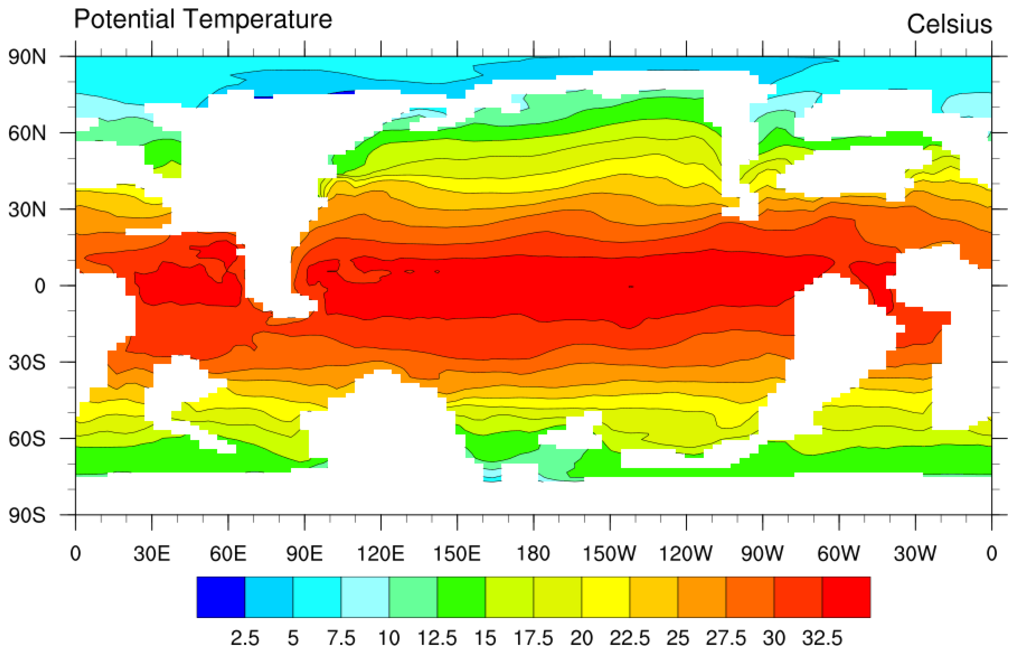
 paleo_1.ncl: Takes advantage of
land being set the missing to plot the land as the mask used by the ocean
model. Since there are no continental outlines for the earth during
this period, this is handy.
paleo_1.ncl: Takes advantage of
land being set the missing to plot the land as the mask used by the ocean
model. Since there are no continental outlines for the earth during
this period, this is handy.
cnFillOn = True, Turns on the color fill.
mpFillOn = False, Turns off the gray continents.
mpCenterLonF = 180, Centers the plot at 180 vice 0.
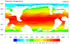
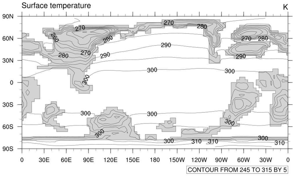
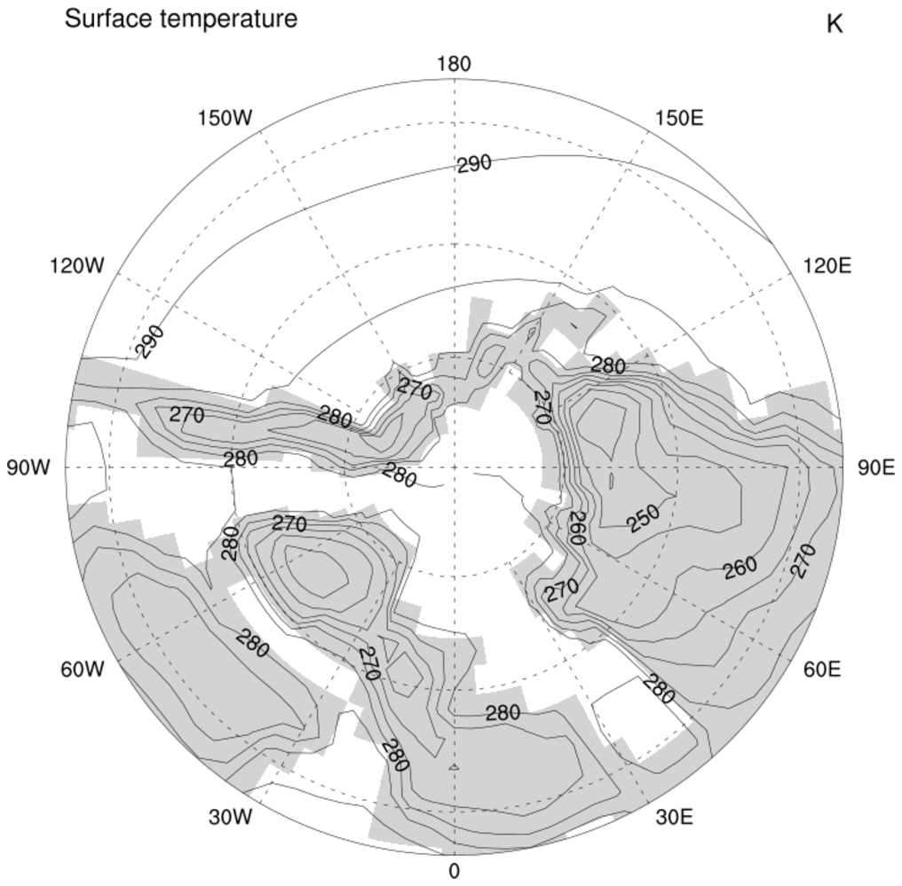
 paleo_2.ncl: An atmospheric example
which uses
paleo_outline to create the continental boundaries.
paleo_2.ncl: An atmospheric example
which uses
paleo_outline to create the continental boundaries.
paleo_outline generates two files called "filename.lines", and "filename.names". With two resources, we will tell NCL to use these files instead of the standard modern-day continental boundaries.
mpDataBaseVersion = "MediumRes", Tells NCL to use the "MediumRes" database instead of the "LowRes", and
the mpDataSetName = "./filename" resource, tells NCL the path to and name of your data base. In this case the data bases are in the same directory as the NCL script. You may want to consider storing these databases in a special directory.
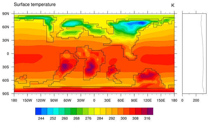
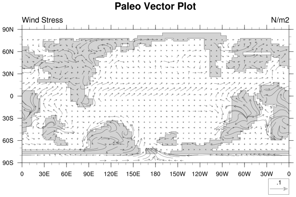
 paleo_4.ncl: A color paleo
atmospheric plot.
paleo_4.ncl: A color paleo
atmospheric plot.
The line thickness in this example was increased by
mpGeophysicalLineThicknessF = 1.5 to really emphasize the continental boundaries.
Example pages containing: tips | resources | functions/procedures
NCL Graphics: Paleo-Climatology
paleo_outline creates continental outlines from model orography data for use
in paleo geographic plots.
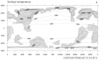
 paleo_1.ncl: Takes advantage of
land being set the missing to plot the land as the mask used by the ocean
model. Since there are no continental outlines for the earth during
this period, this is handy.
paleo_1.ncl: Takes advantage of
land being set the missing to plot the land as the mask used by the ocean
model. Since there are no continental outlines for the earth during
this period, this is handy.
cnFillOn = True, Turns on the color fill.
mpFillOn = False, Turns off the gray continents.
mpCenterLonF = 180, Centers the plot at 180 vice 0.
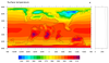
 paleo_2.ncl: An atmospheric example
which uses
paleo_outline to create the continental boundaries.
paleo_2.ncl: An atmospheric example
which uses
paleo_outline to create the continental boundaries.
paleo_outline generates two files called "filename.lines", and "filename.names". With two resources, we will tell NCL to use these files instead of the standard modern-day continental boundaries.
mpDataBaseVersion = "MediumRes", Tells NCL to use the "MediumRes" database instead of the "LowRes", and
the mpDataSetName = "./filename" resource, tells NCL the path to and name of your data base. In this case the data bases are in the same directory as the NCL script. You may want to consider storing these databases in a special directory.
 paleo_4.ncl: A color paleo
atmospheric plot.
paleo_4.ncl: A color paleo
atmospheric plot.The line thickness in this example was increased by
mpGeophysicalLineThicknessF = 1.5 to really emphasize the continental boundaries.