NCL Home >
Documentation >
Graphics
NCL map projections
NCL supports several map projections. If you have data that's on a particular map projection, you can easily project it onto a different map projection.NCL also supports shapefiles, if you need to add map outlines that NCL doesn't have.
For information about drawing high-resolution coastlines, see this information on the RANGS/GSHHS database.
Here's the NCL script for generating these maps.
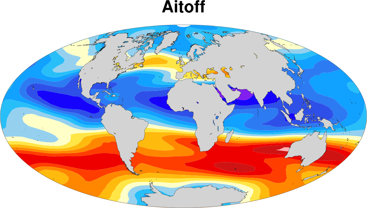
| Aitoff
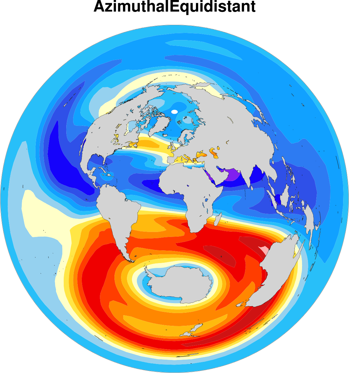
| Azimuthal Equidistant
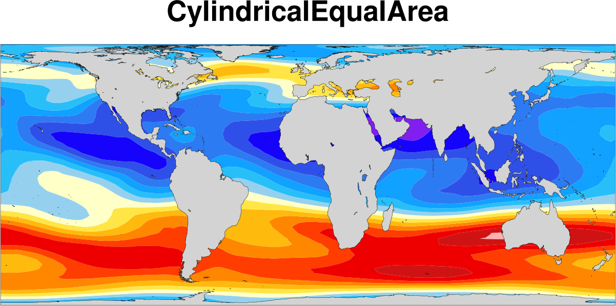
| Cylindrical Equal Area
|
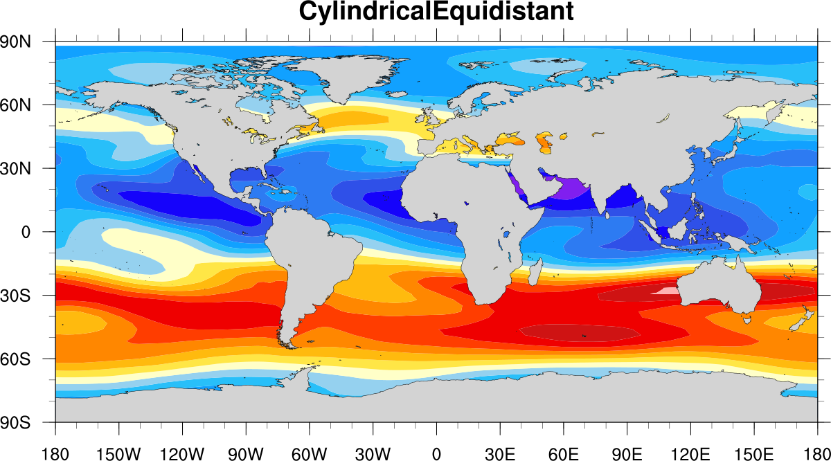
| Cylindrical Equidistant
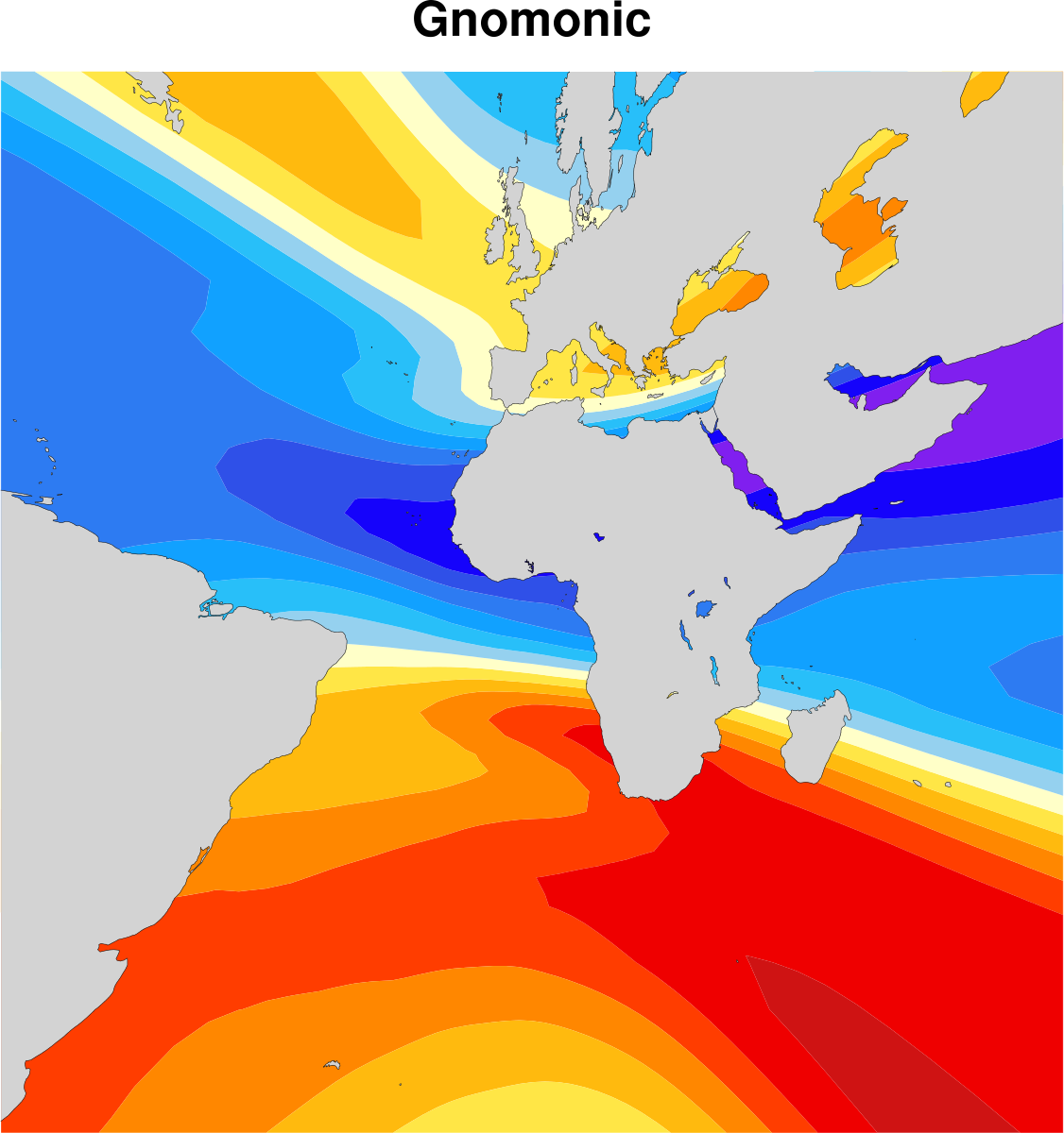
| Gnomonic
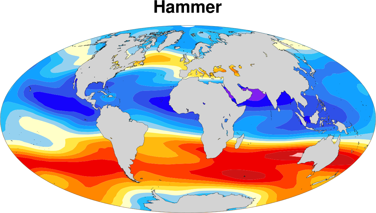
| Hammer
|
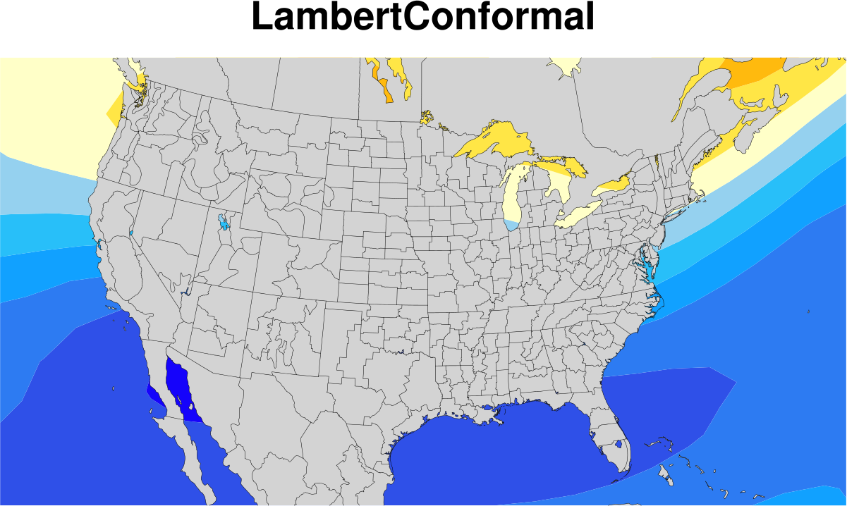
| Lambert Conformal
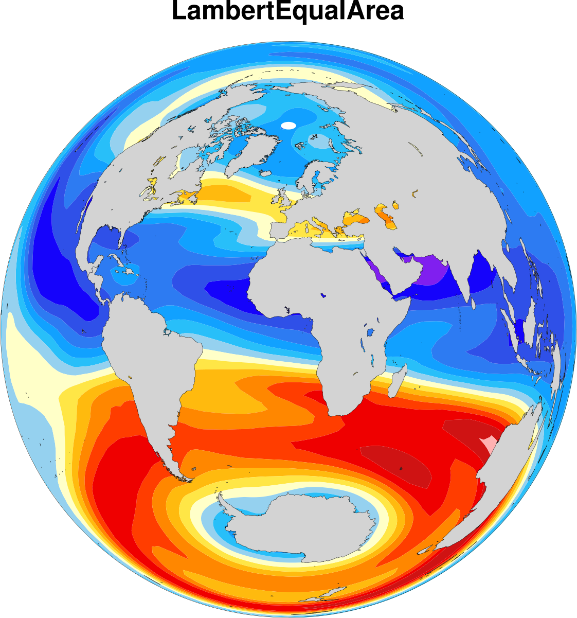
| Lambert Equal Area
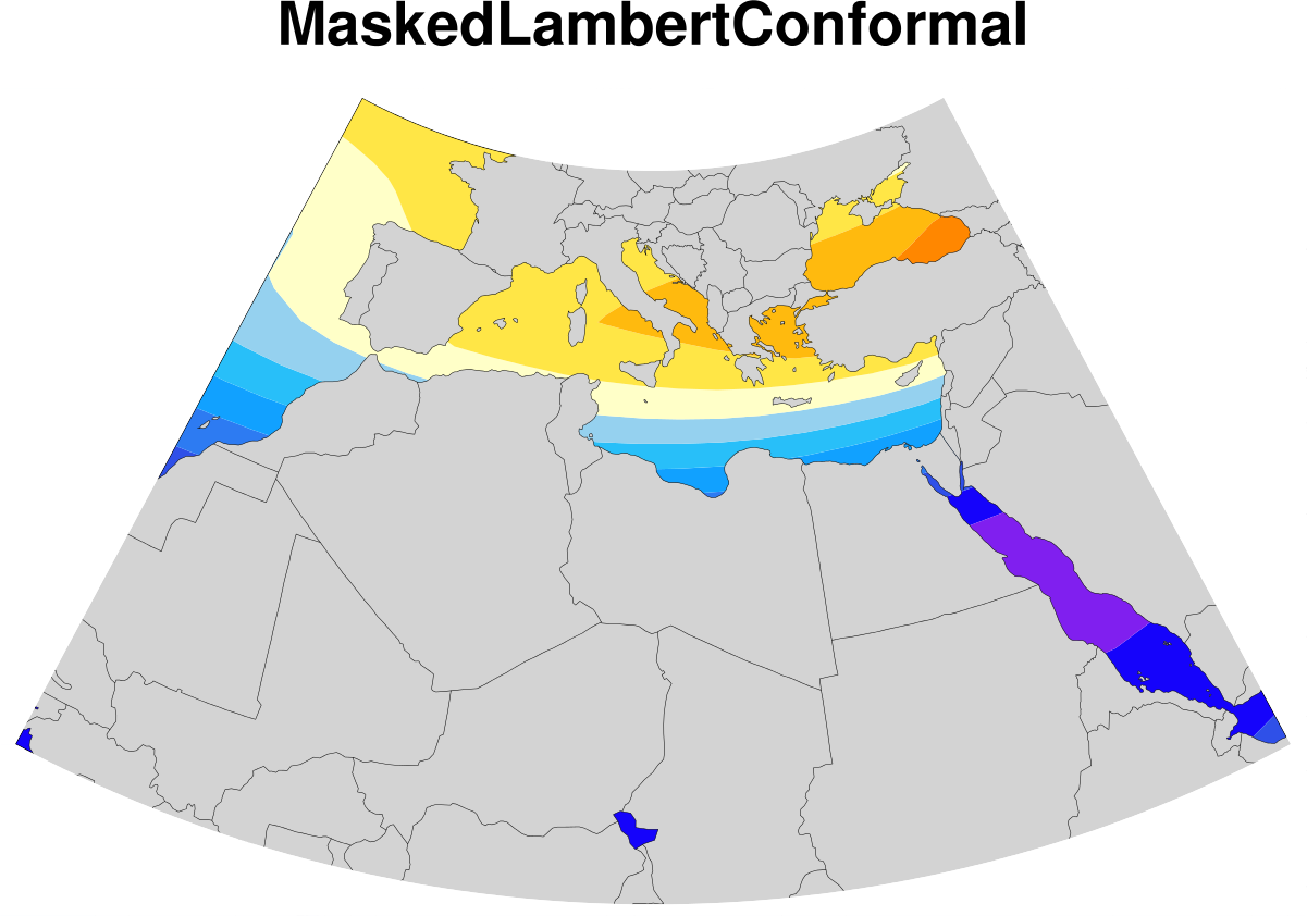
| Masked Lambert Conformal
|
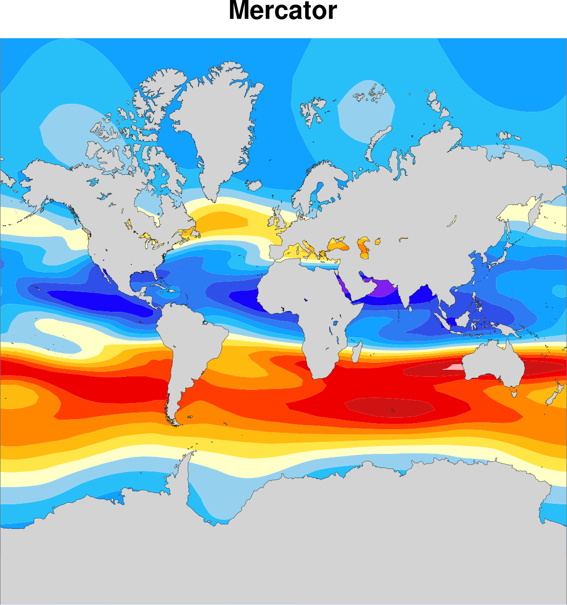
| Mercator
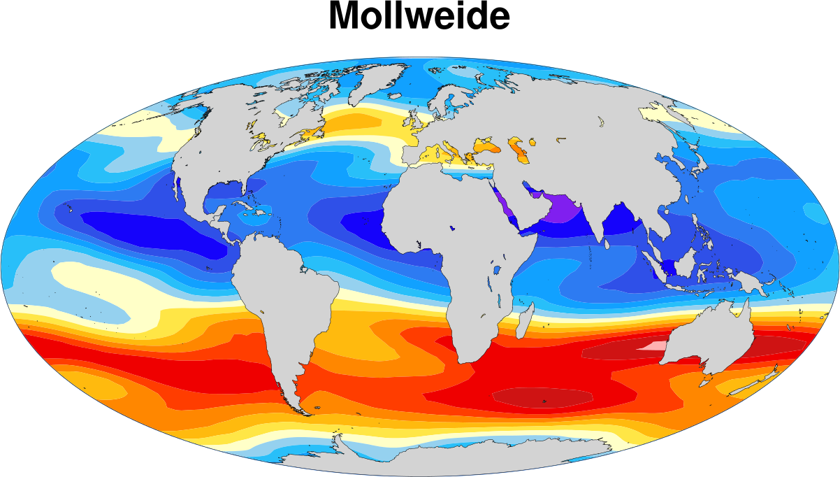
| Mollweide
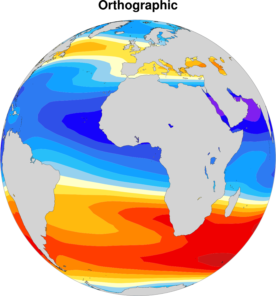
| Orthographic
|
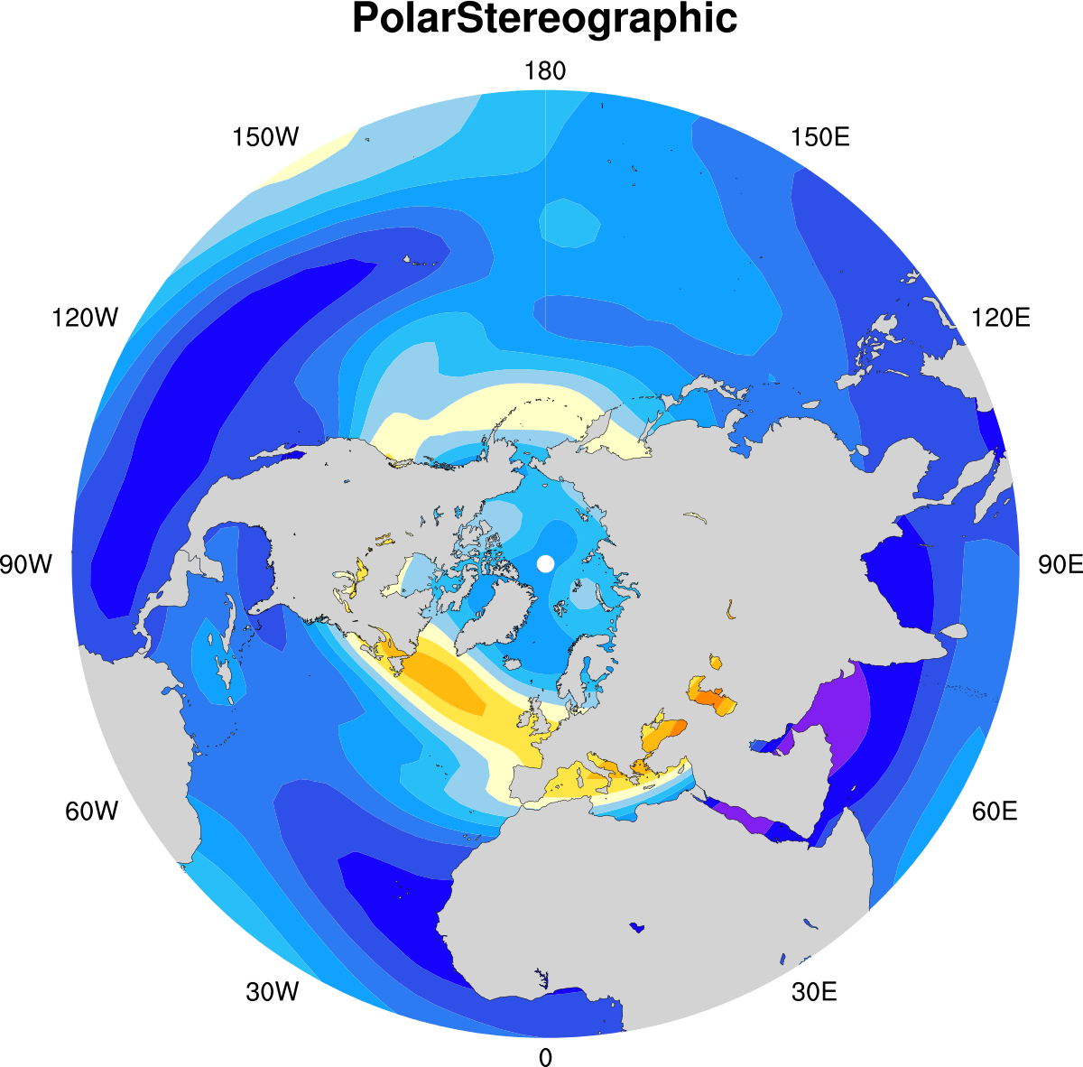
| Polar Stereographic
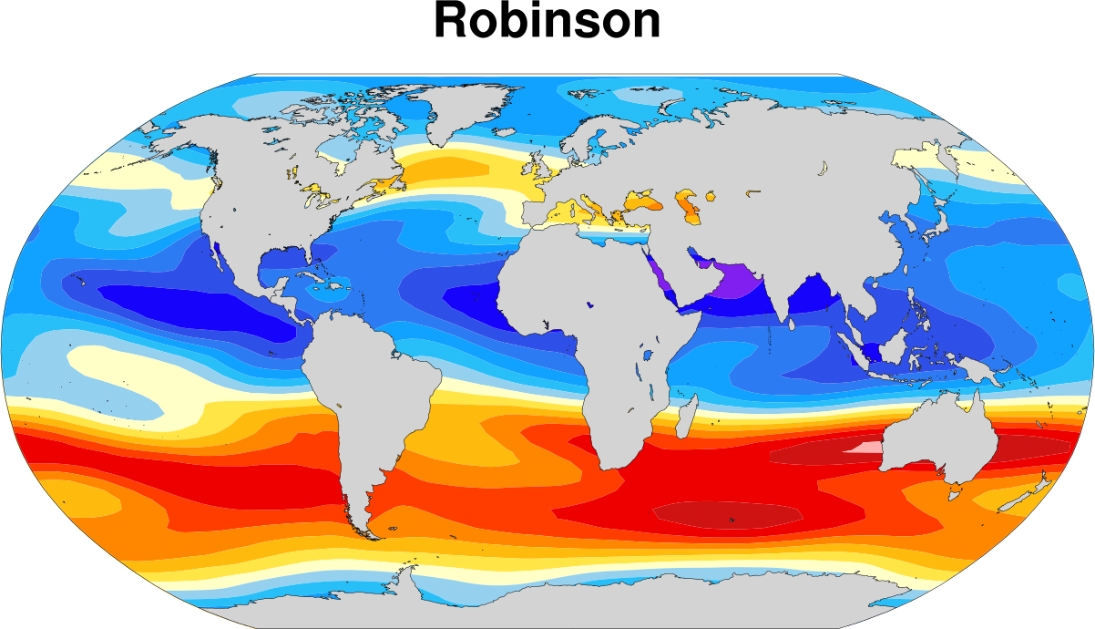
| Robinson
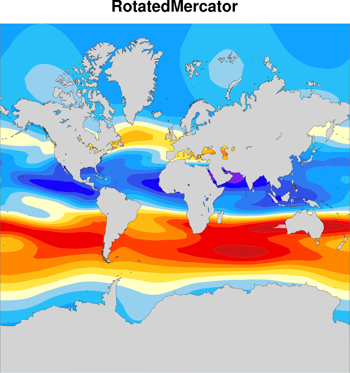
| Rotated Mercator
|
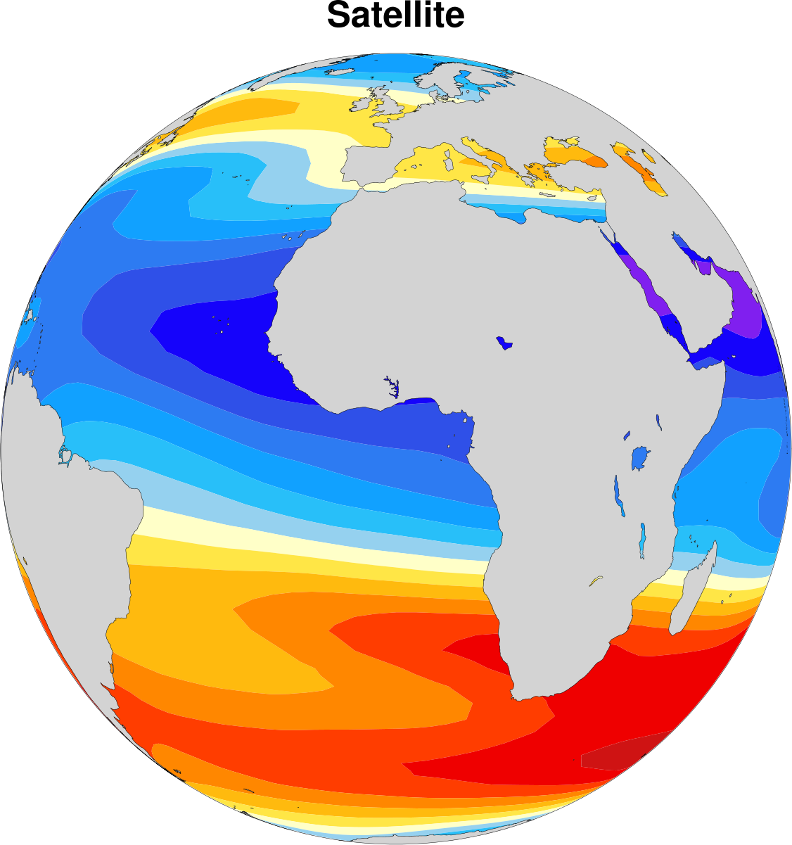
| Satellite
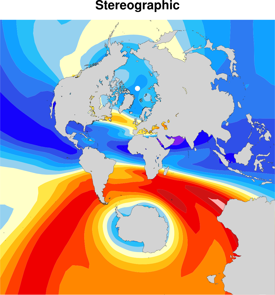
| Stereographic
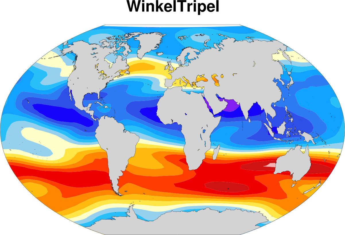
| Winkel Tripel
|