NCL Home>
Application examples>
Data Analysis ||
Data files for some examples
Example pages containing:
tips |
resources |
functions/procedures
NCL User Guide examples
These are the NCL scripts referenced in the
NCL User Guide (NUG)
in the order they appear in the document.
The NUG was created by Karin Meier-Fleischer and Michael
Böttinger of DKRZ (Deutsches
Klimarechenzentrum) with input from NCL developers.
DKRZ has developed an NCL User Portal
containing some very nice and unique NCL graphical examples.
For the examples that appear on this page, you can copy any one of them from this page, or, if
you have NCL V6.4.0 installed, you can run the ng4ex command from a UNIX terminal window:
ng4ex xxxxxx
where
xxxxxx is the name of the script without the ".ncl" suffix. For example:
ng4ex NUG_curvilinear_grid
To see the full list of NUG examples, type the following on the UNIX command line:
ng4ex -nug -list
Some of these examples require one or more data files, which you can download from:
http://www.ncl.ucar.edu/Document/Manuals/NCL_User_Guide/Data/
NUG_read_ASCII_1.ncl:
Reading ASCII data that contains one value per line.
This example does not produce any graphics.
NUG_read_ASCII_2.ncl:
Reading ASCII data that contains a header line.
This example does not produce any graphics.
NUG_read_ASCII_3.ncl:
Reading ASCII data that contains multiple columns of data.
This example does not produce any graphics.
NUG_write_ASCII_2.ncl:
Writing an ASCII file with a mix of string, float, and integer data.
This example does not produce any graphics.
NUG_write_ASCII_3.ncl:
Writing an ASCII file with formatted columns.
This example does not produce any graphics.
NUG_write_ASCII_4.ncl:
Writing 2D subsets of a 3D array to an ASCII file.
This example does not produce any graphics.
NUG_write_ASCII_5.ncl:
Writing nicely formatted 2D arrays of numeric data to an ASCII file.
This example does not produce any graphics.
NUG_write_Binary_1.ncl:
Writing an unformatted Fortran binary file.
This example does not produce any graphics.
NUG_write_Binary_2.ncl:
Writing and reading three dummy variables to a Fortran binary file.
This example does not produce any graphics.
NUG_write_netCDF_1.ncl:
Writing data to a NetCDF file using the "inefficient" method.
This example does not produce any graphics.
NUG_write_netCDF_2.ncl:
Writing data to a NetCDF file using the "efficient" method.
This example does not produce any graphics.
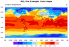
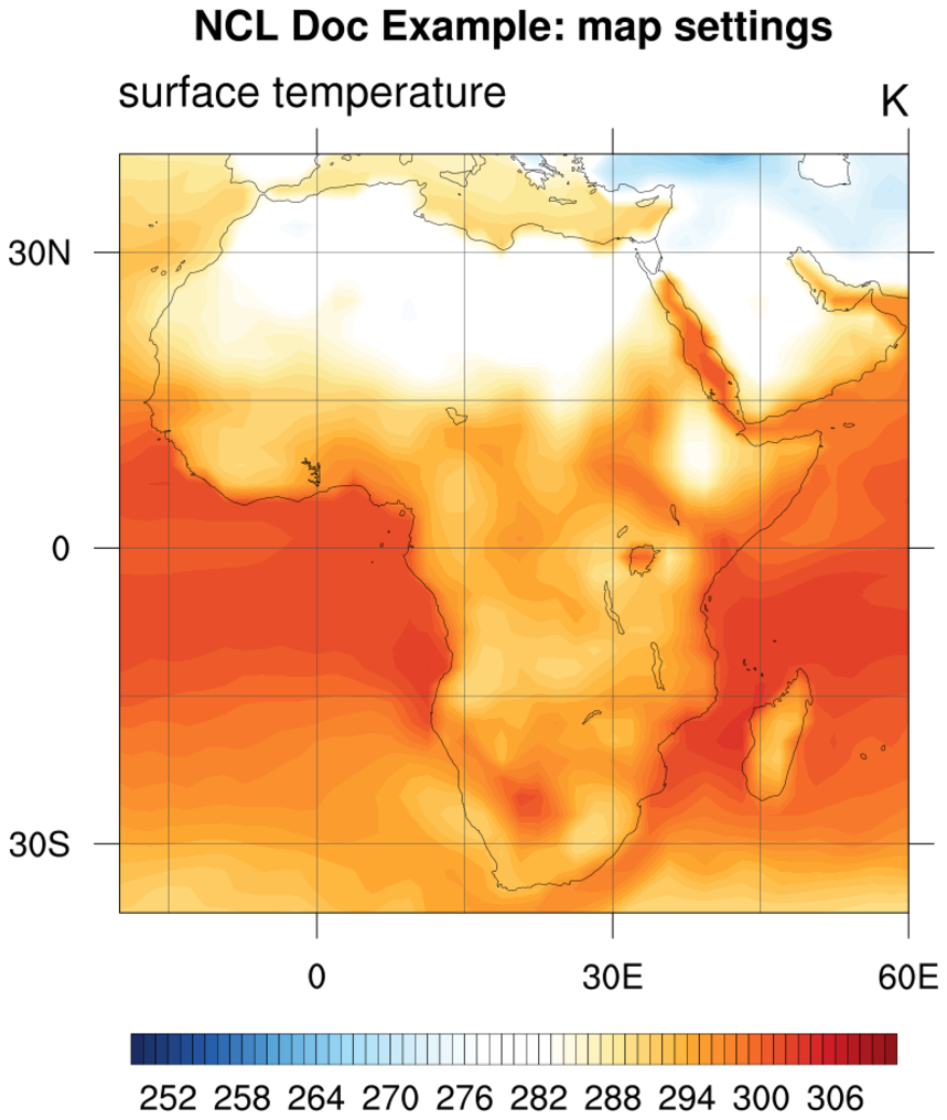
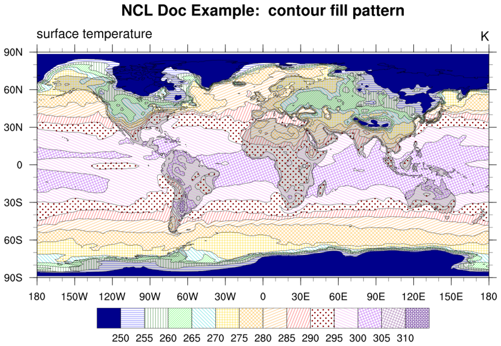
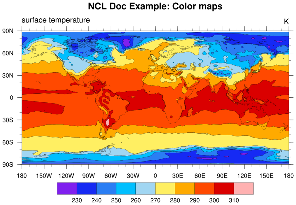
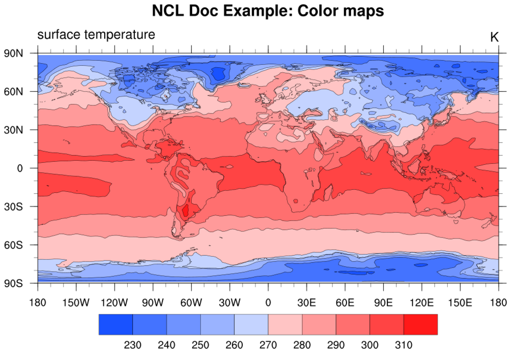
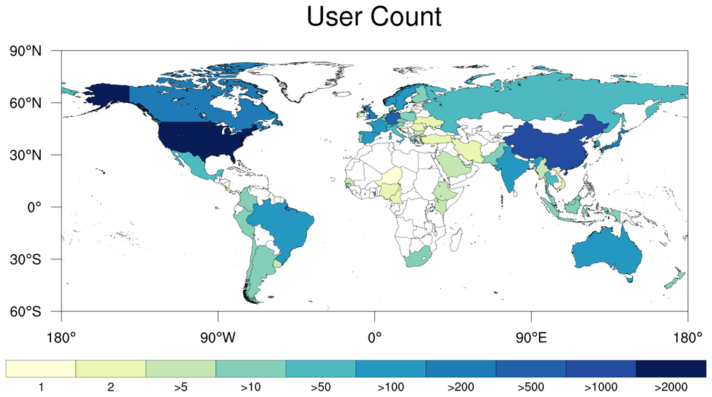
 NUG_colormaps.ncl
:
Changing the color map for filled contours and drawing color maps.
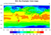
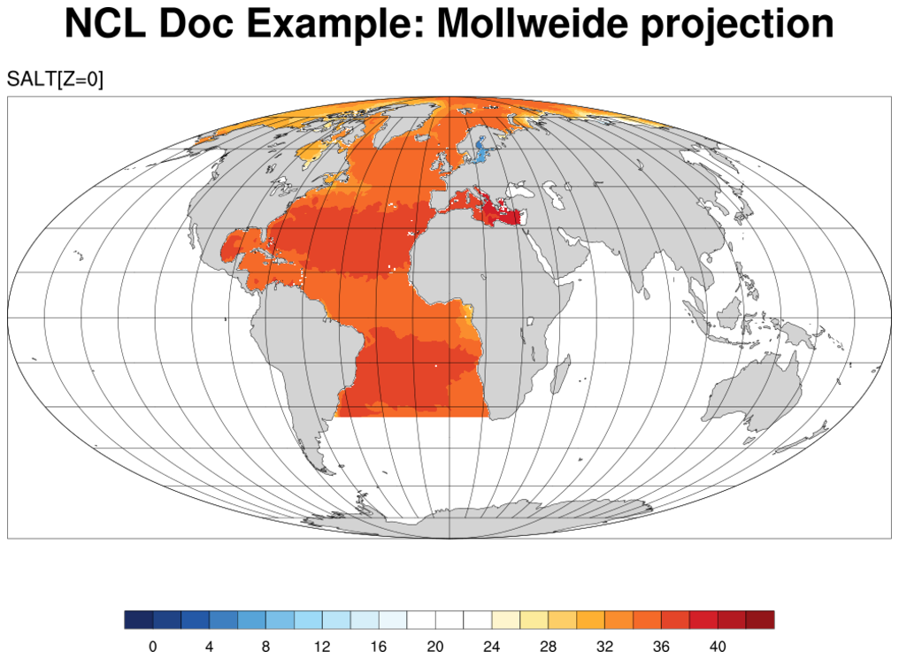
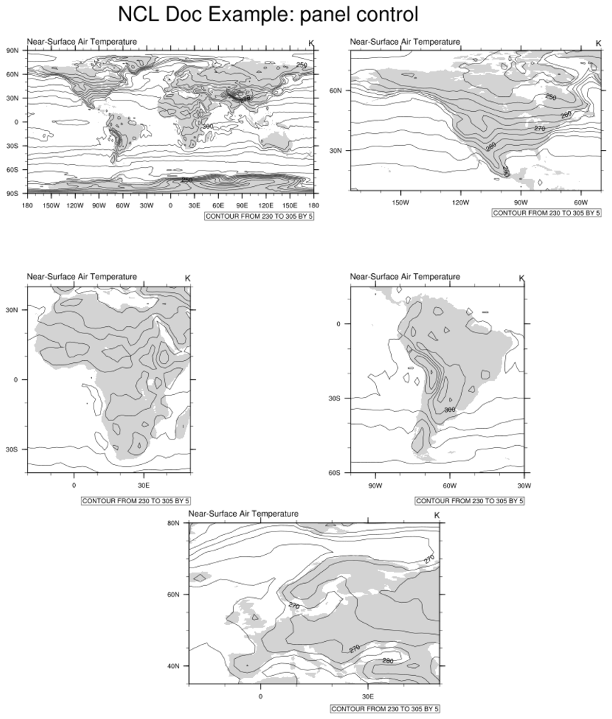
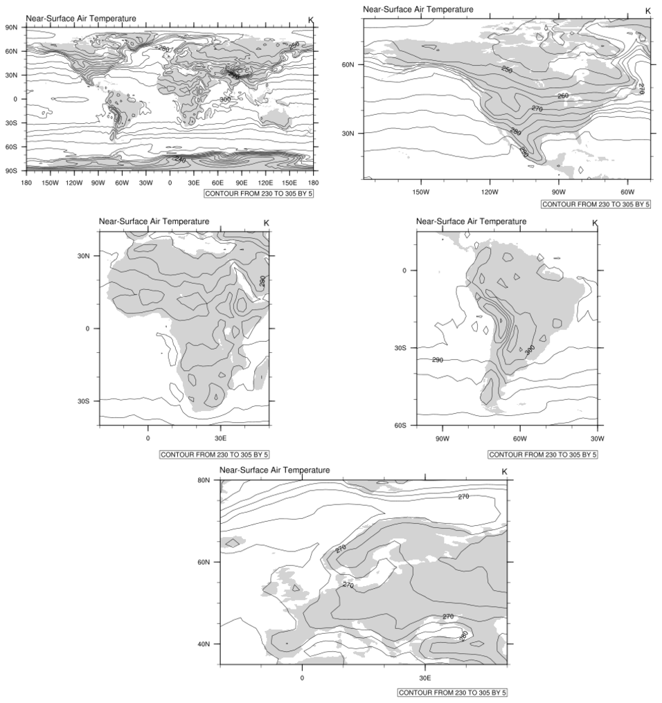
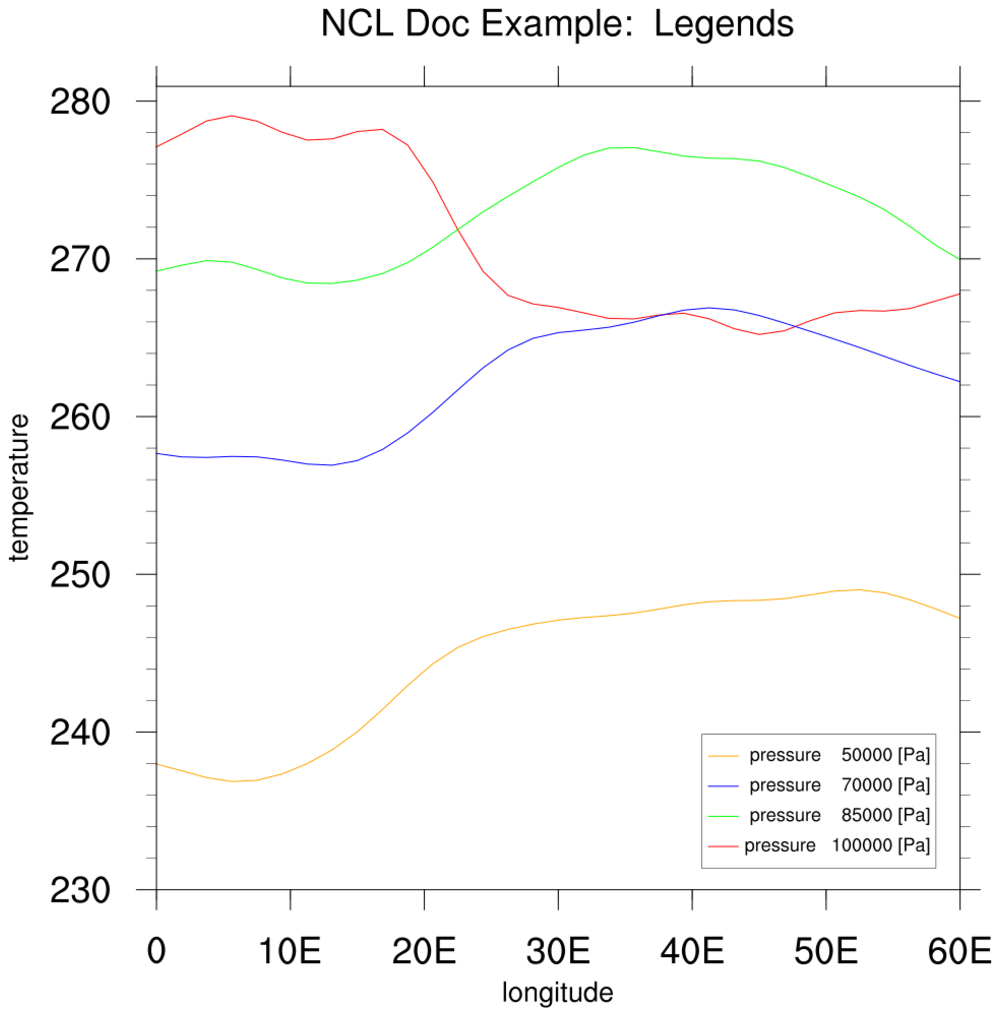
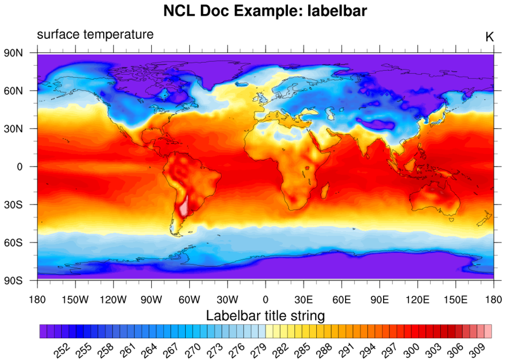
 NUG_labelbars.ncl
:
Customizing a labelbar (mainly used for color contour and vector plots).
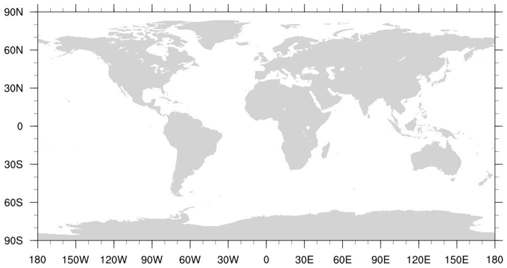
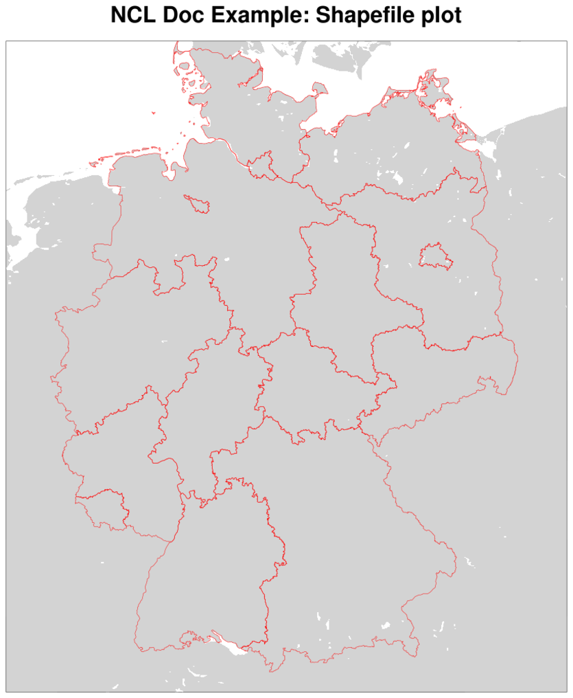
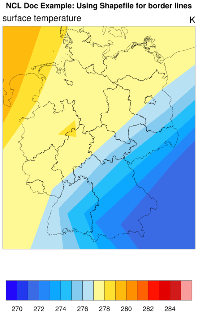
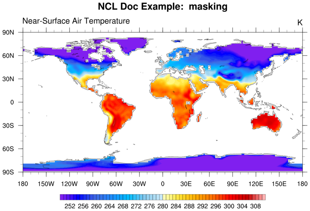
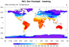 NUG_masking.ncl
:
Masking data based on land/sea mask read off a NetCDF file.
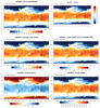
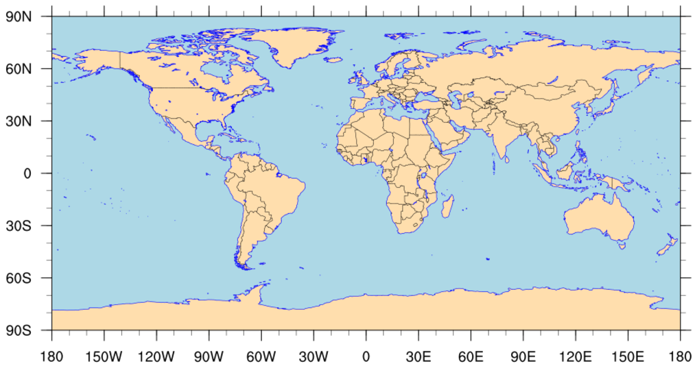
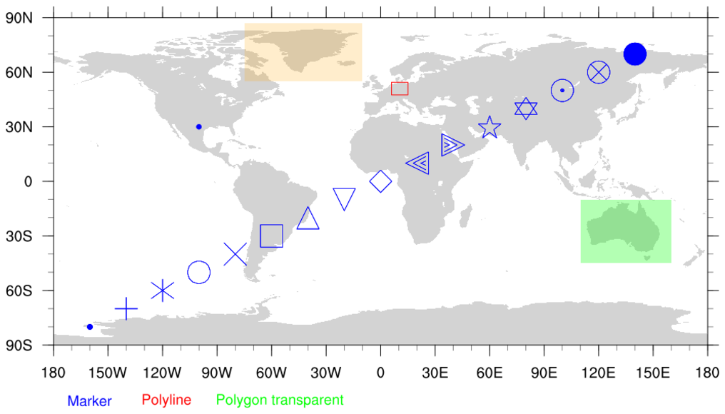
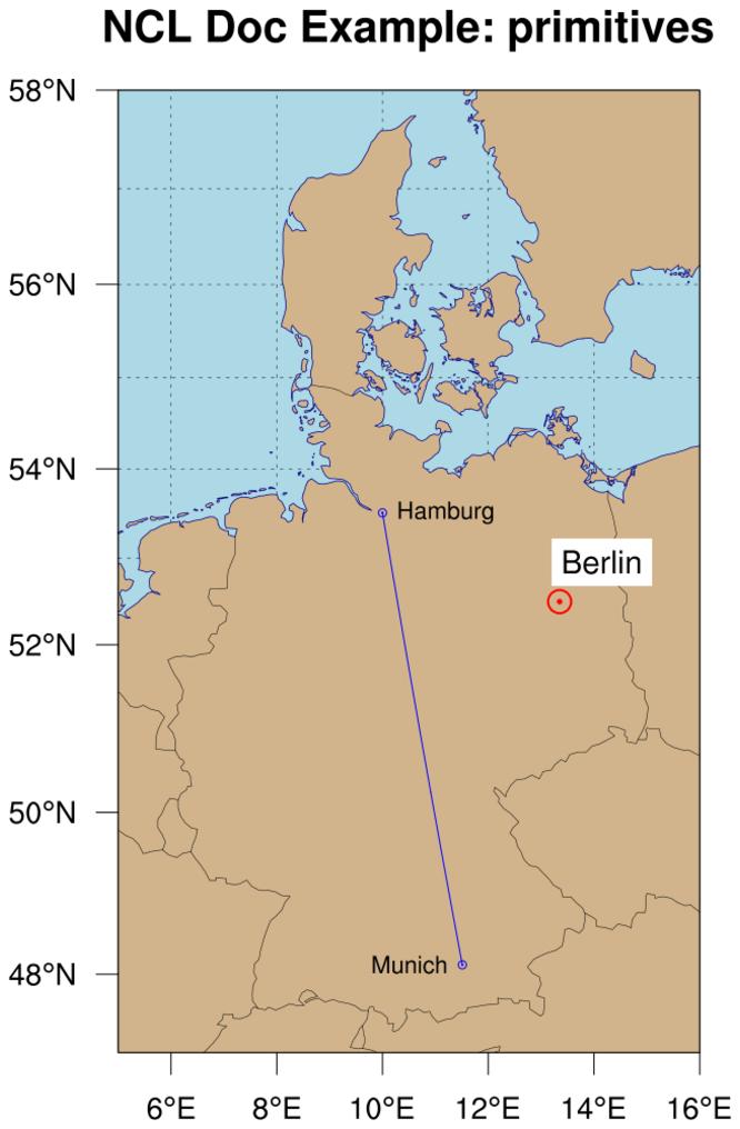
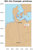 NUG_primitives.ncl
:
Drawing lines, markers, filled polygons, and text on an existing plot.
NUG_strings.ncl:
Using various string parsing and manipulation functions.
This example does not produce any graphics.
NUG_system_calls.ncl:
Using various system and timing calls.
This example does not produce any graphics.


