NCL Home>
Application examples>
Data sets ||
Data files for some examples
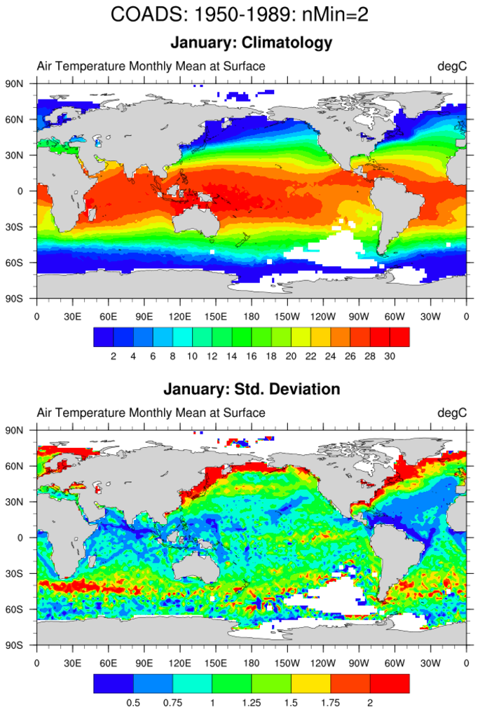
 coads_1.ncl:
Plot a variable from a COADS file.
coads_1.ncl:
Plot a variable from a COADS file.
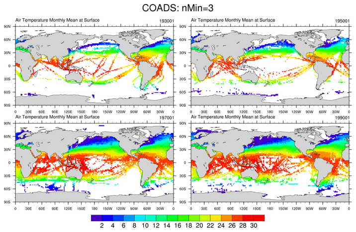
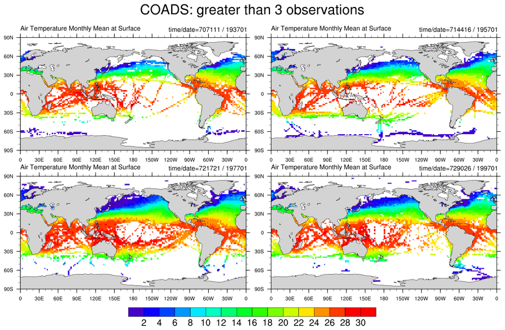
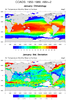 coads_2.ncl:
Plot grid boxes which have more than a user specified minimum number of
observations.
coads_2.ncl:
Plot grid boxes which have more than a user specified minimum number of
observations.
 coads_3.ncl:
Filtered COADS
coads_3.ncl:
Filtered COADS
Example pages containing:
tips |
resources |
functions/procedures
NCL Graphics: The Comprehensive Ocean-Atmosphere Data Set (COADS)
The Comprehensive Ocean-Atmosphere Data Set
(COADS) is the most
extensive collection of surface marine data available for the world's
oceans over the past two centuries. The COADS's Global Monthly Summaries
are frequently used by researchers.
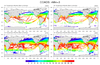
coads_1.ncl:
Plot a variable from a COADS file.
gsn_csm_contour_map_ce plot interface that creates a cylindrical equidistant plot.
The data in this example is in short format and requires conversion to float before processing and graphics. short2flt will look for the required scale factor and offset and perform the conversion for you.
 coads_2.ncl:
Plot grid boxes which have more than a user specified minimum number of
observations.
coads_2.ncl:
Plot grid boxes which have more than a user specified minimum number of
observations.
The mask function is used to create a dataset of observations within a specified range.
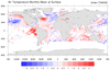
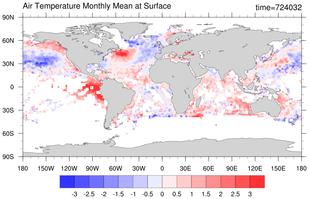 coads_3.ncl:
Filtered COADS
coads_3.ncl:
Filtered COADS
The mask function is used to filter out locations that have less than a specify number of observations (5 in this example).