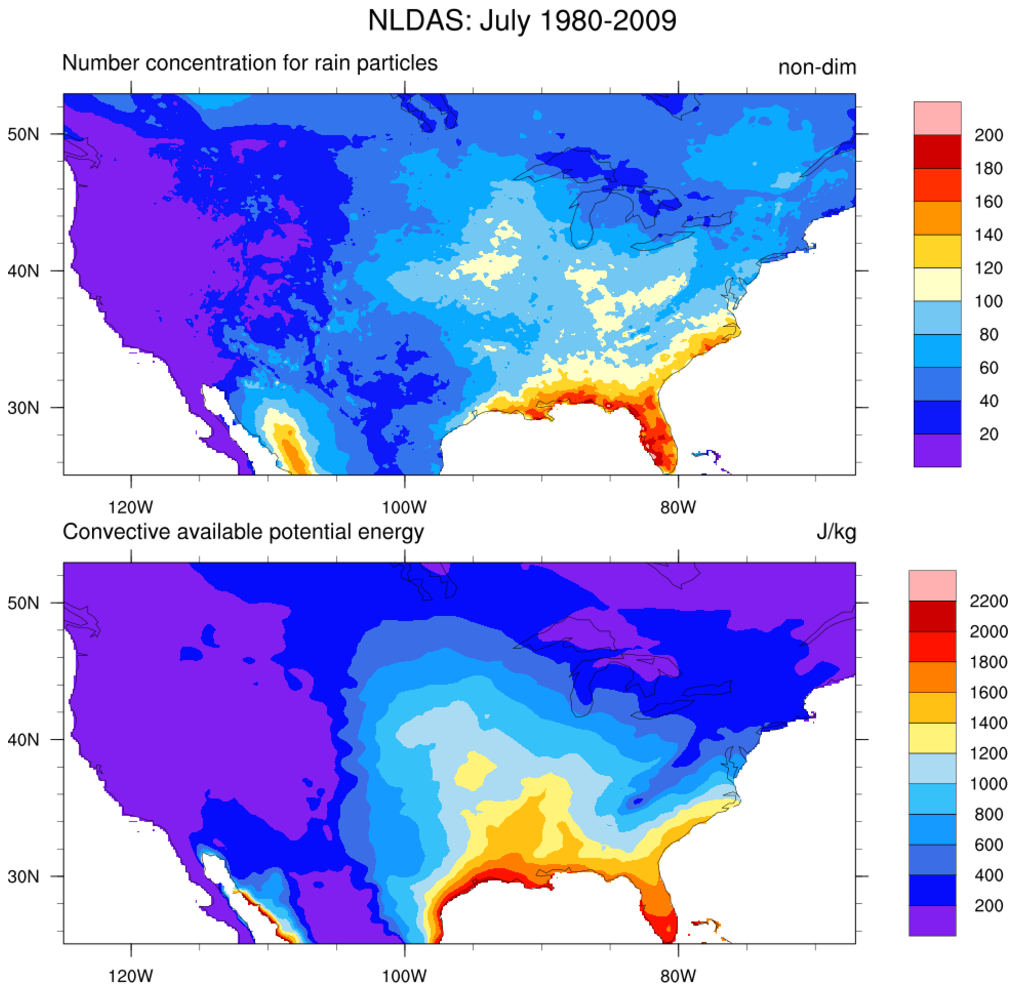
The goal of the North American Land Data Assimilation System (NLDAS) is to construct quality controlled, and spatially and temporally consistent, land surface model (LSM) datasets from the best available observations and model output to support modeling activities. More information about NLDAS is available.
The Global Land Data Assimilation System (GLDAS) generates a series of land surface state (e.g., soil moisture and surface temperature) and flux (e.g., evaporation and sensible heat flux) products simulated by four land surface models (CLM, Mosaic, Noah and VIC). The 1.0 degree resolution data range from 1979 to present for the four models. The 0.25 degree data cover 2000 to present for the NOAH model. More information about GLDAS is at http://www.asprs.org/a/publications/proceedings/portland08/0020.pdf. available.
In November 2015, NASA-GLDAS released the Energy and Water cycle Study (NEWS) Climatology of the 1st Decade of the 21st Century Dataset, and its availability. See http://disc.sci.gsfc.nasa.gov/uui/#/search/NEWS. This data set summarizes the original observation-based mean fluxes of Water and Energy Budget (WEB) components during the first decade of the 21st century, for each continent and ocean basin. These data are summarized on both monthly and annual scales, as well as means over all oceans, all continents, and the globe. A careful accounting of uncertainty in the estimates is included. More information on and access to these data are available at http://disc.sci.gsfc.nasa.gov/datareleases/news-web-climatology-data-set-version-1.0-released-by-nasa-ges-disc..


