NCL scripts for plotting shapefile data
Note: the scripts on this page are mainly meant as supplements to the other scripts in this suite. These scripts show you how to use shapefiles to get better map outlines in your plot. Please also visit the Toulouse models applications page.
The shapefiles on this page were obtained from various locations:
- Global Administrative Areas (GADM)
- Free Spatial Data
- GeoFABRIK shapefiles (search for "Toulouse")
[Click on any image to see a larger version.]
France_NCL.ncl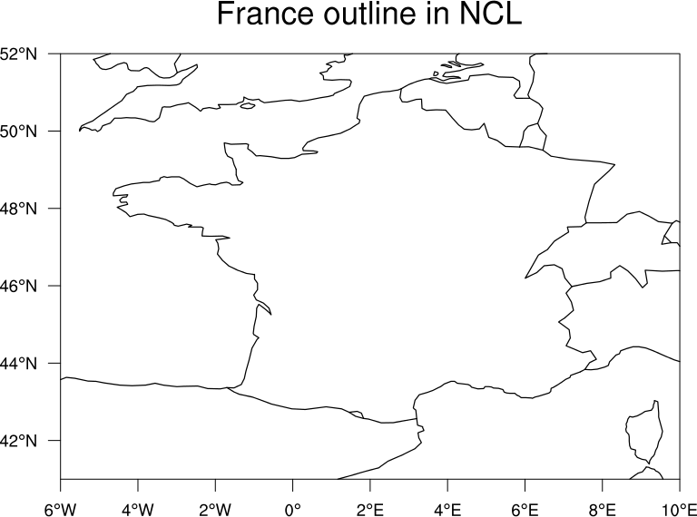
| France_shapefile.ncl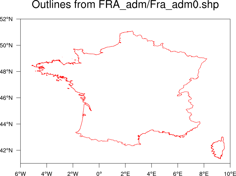
| France_adm_compare.ncl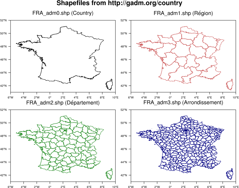
| France_adm4_5.ncl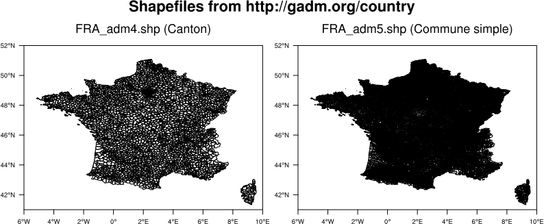
|
AllCountries_NCL.ncl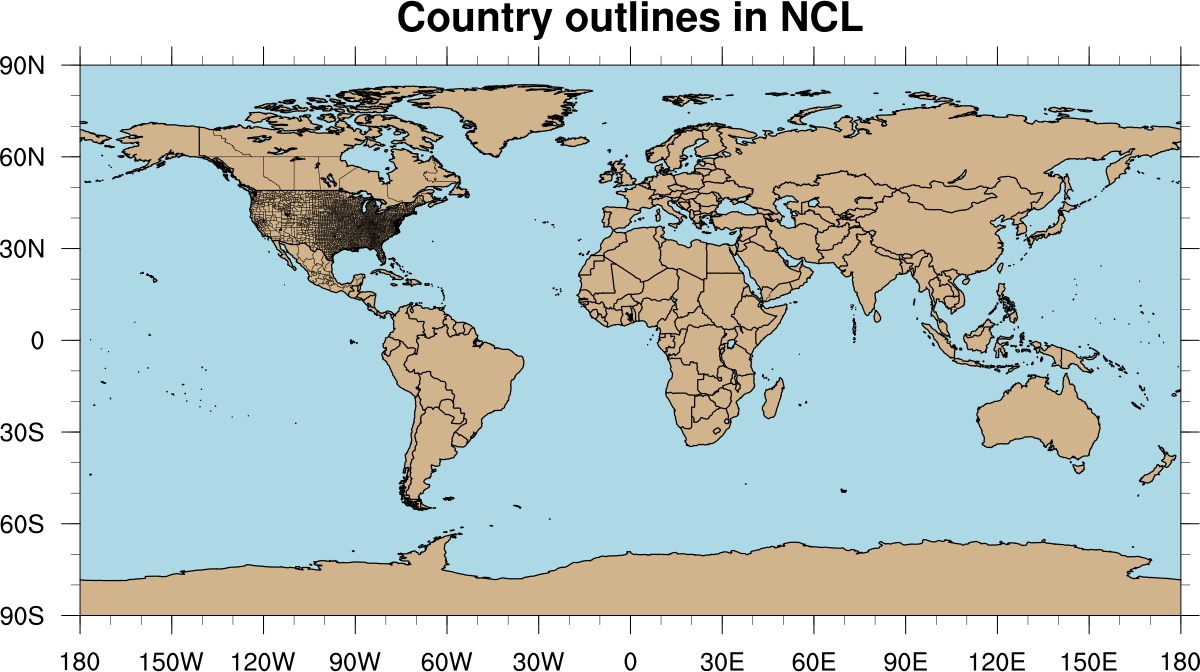
| AllCountries_shapefile.ncl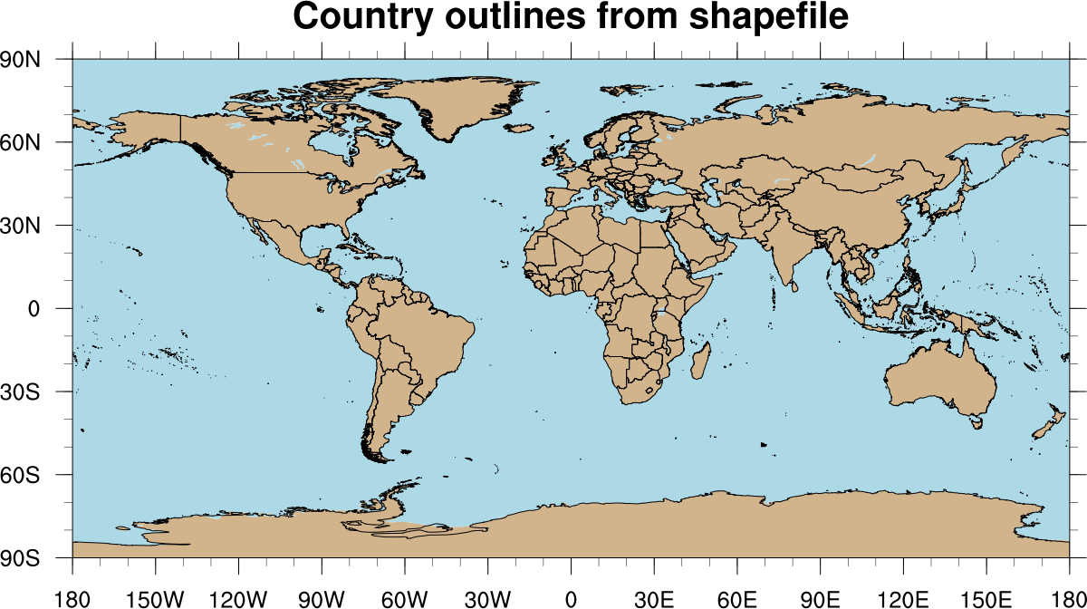
| StraitOfGibraltar.ncl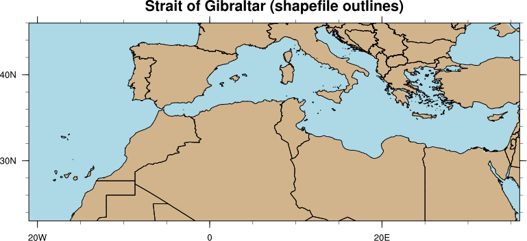
|