NCL scripts for plotting shapefile data
Note: these scripts show you how to use shapefiles to get additional or better map outlines in your plot.
The shapefiles on this page were obtained from:
- NWS AWIPS Map Database Catalog
- Alaska Department of Transportation & Public Facilities website
- TIGER/Line Shapefiles for Alaska
- ftp://gis.co.fairbanks.ak.us/gis/Shapes/
- Alaska Essential Fish Habitat Species
[Click on any image to see a larger version.]
AK_outlines.ncl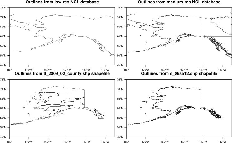 | AK_fisheries.ncl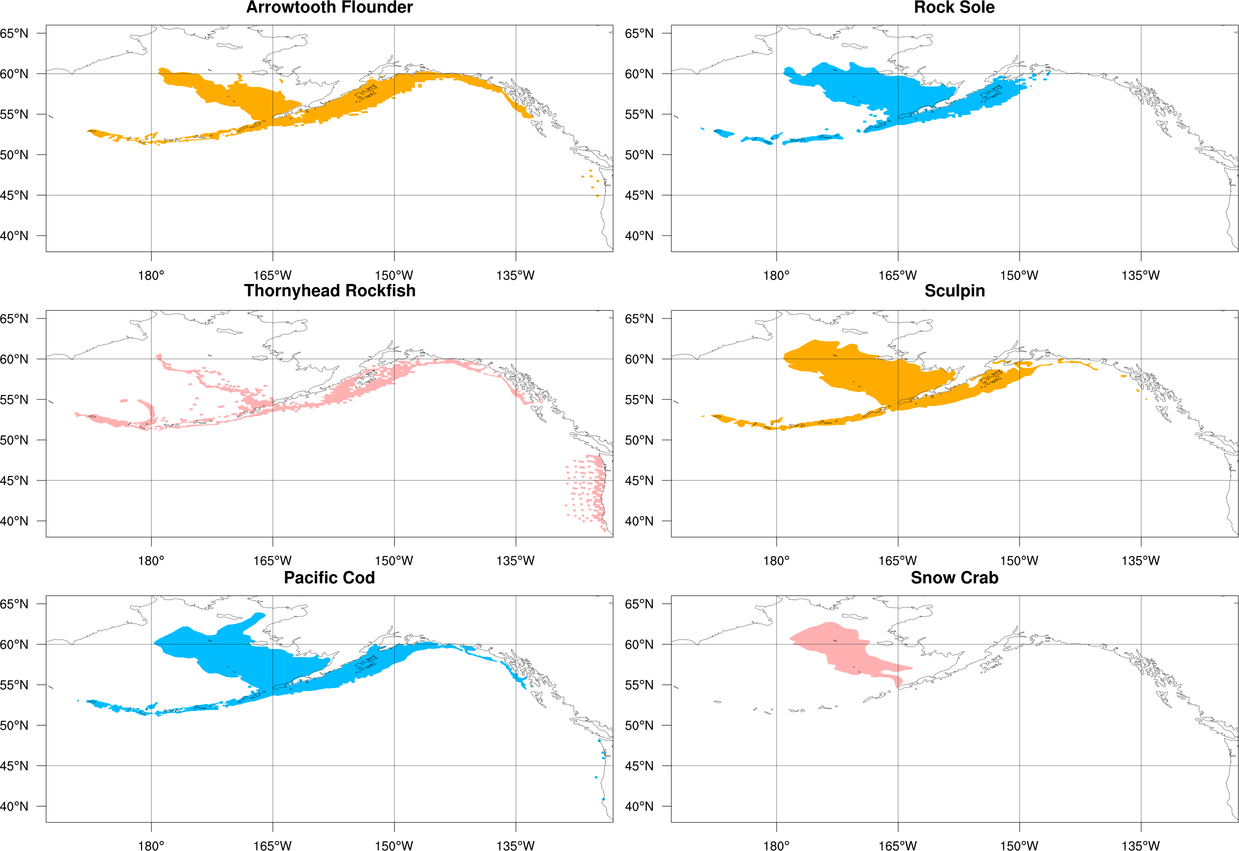 examine_fisheries_file.ncl | AK_airports.ncl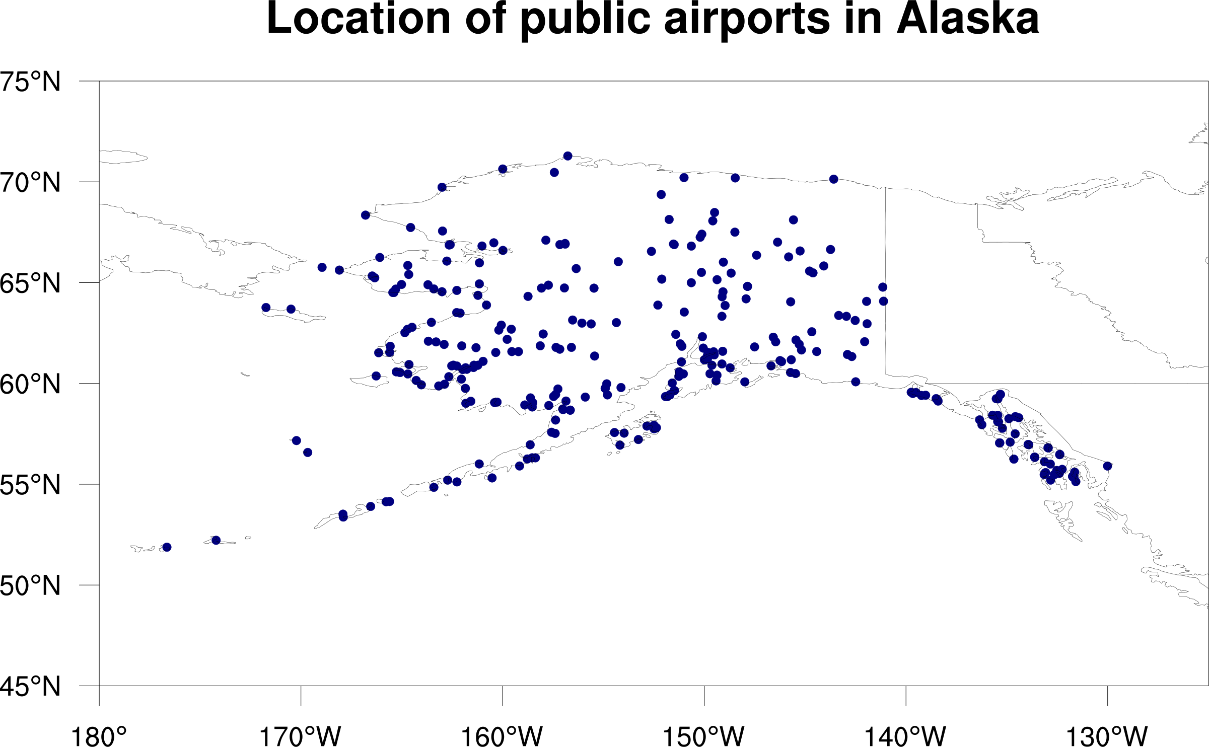
|
UAF_campus.ncl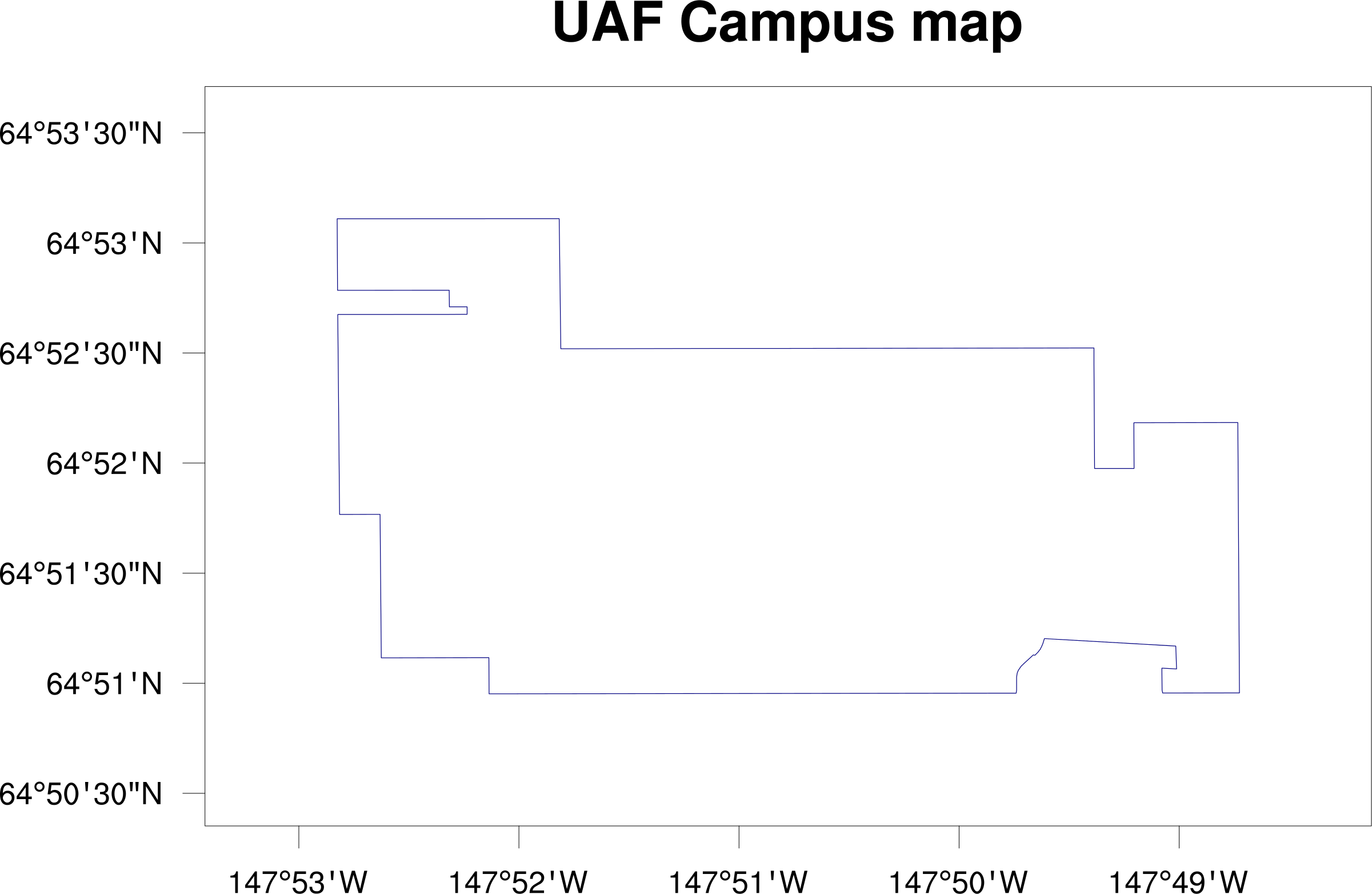
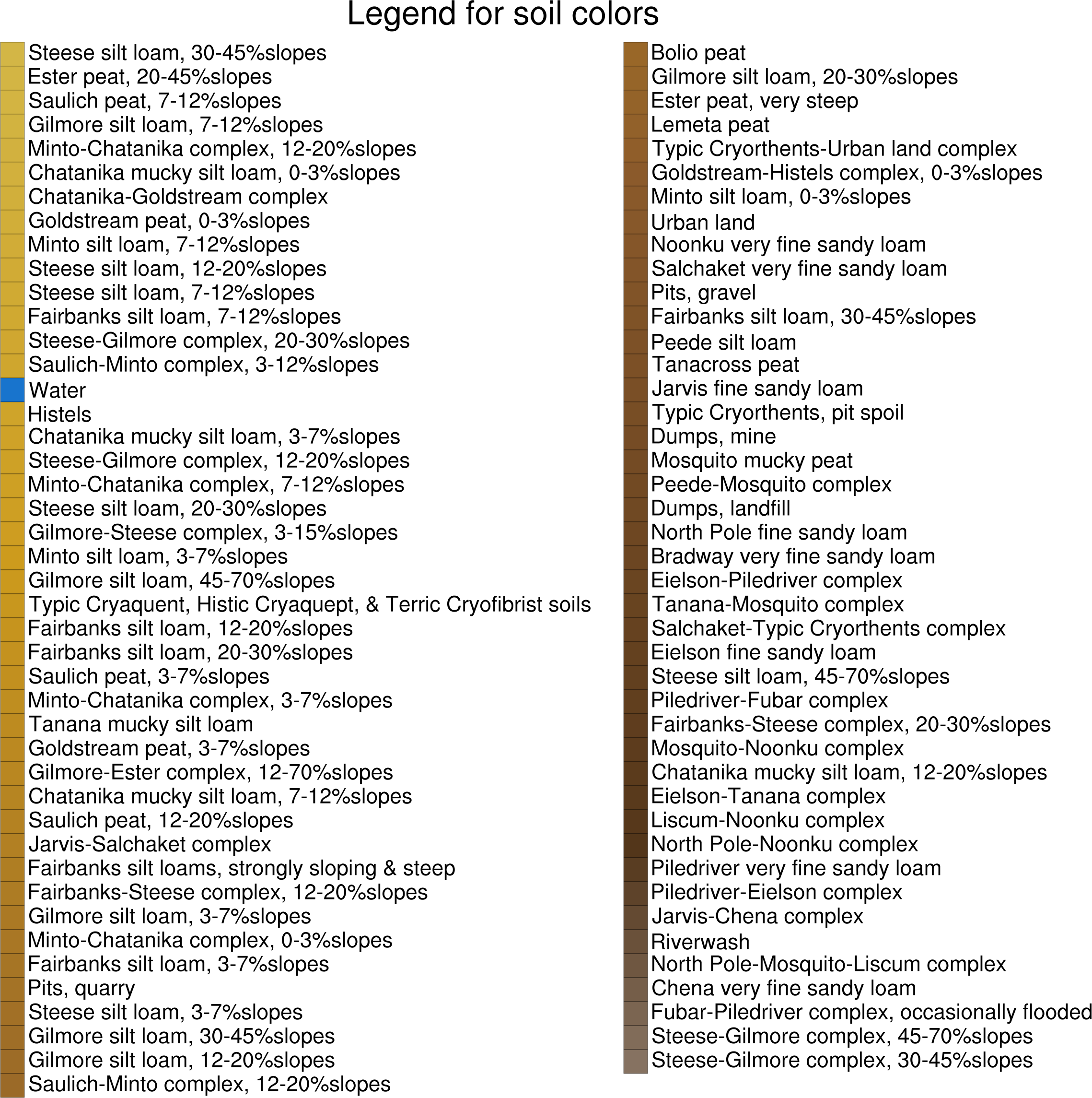
| Fairbanks_soils.ncl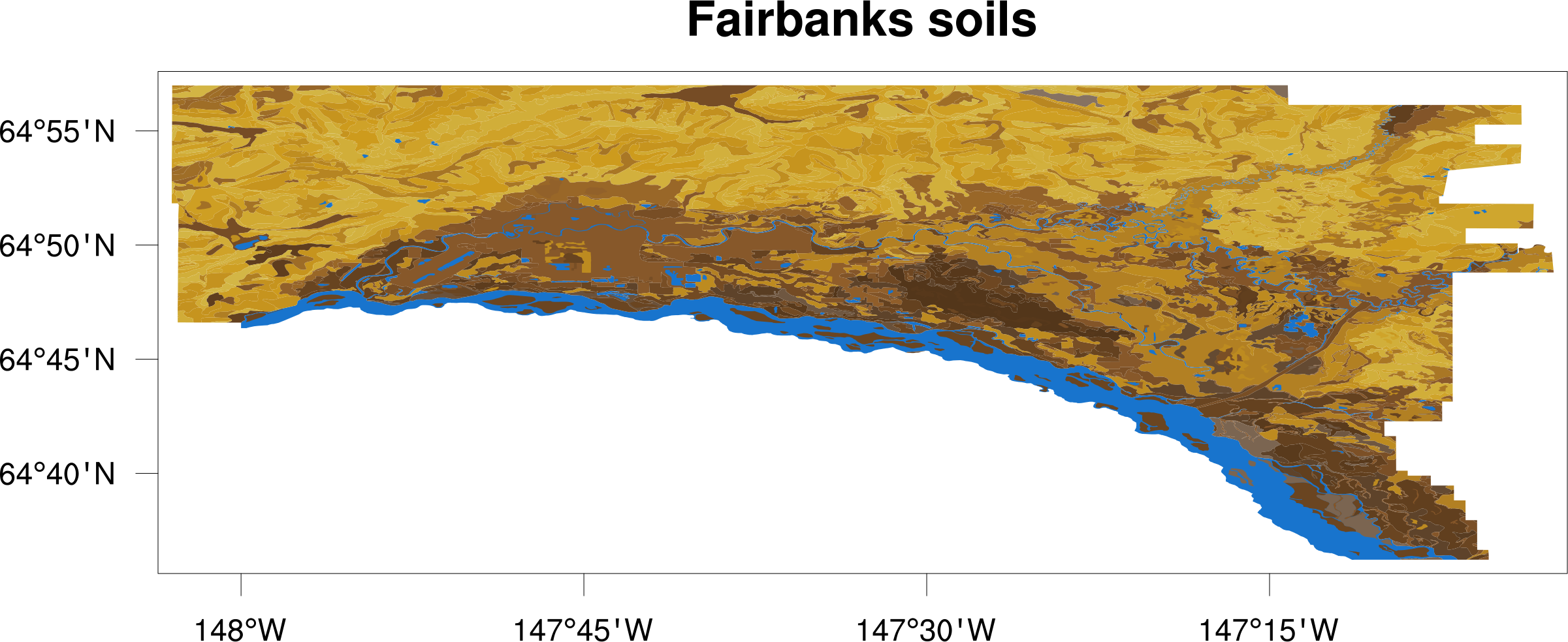
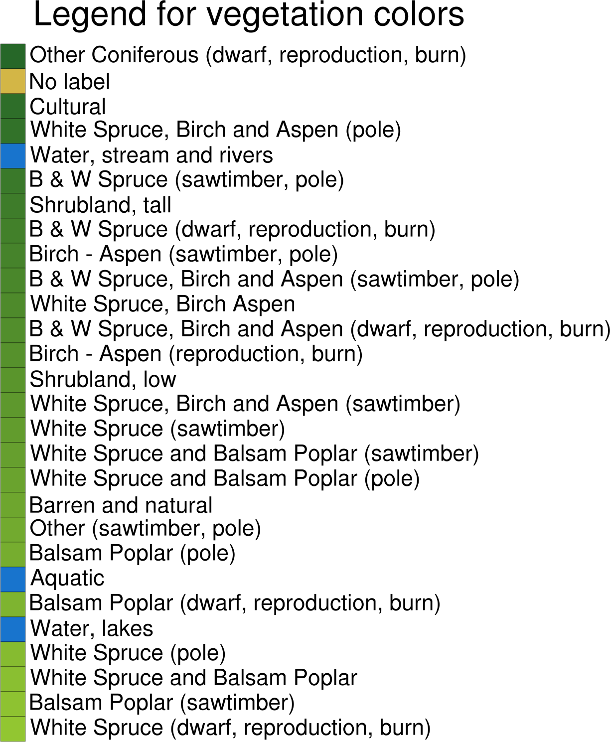
| AK_vegetation.ncl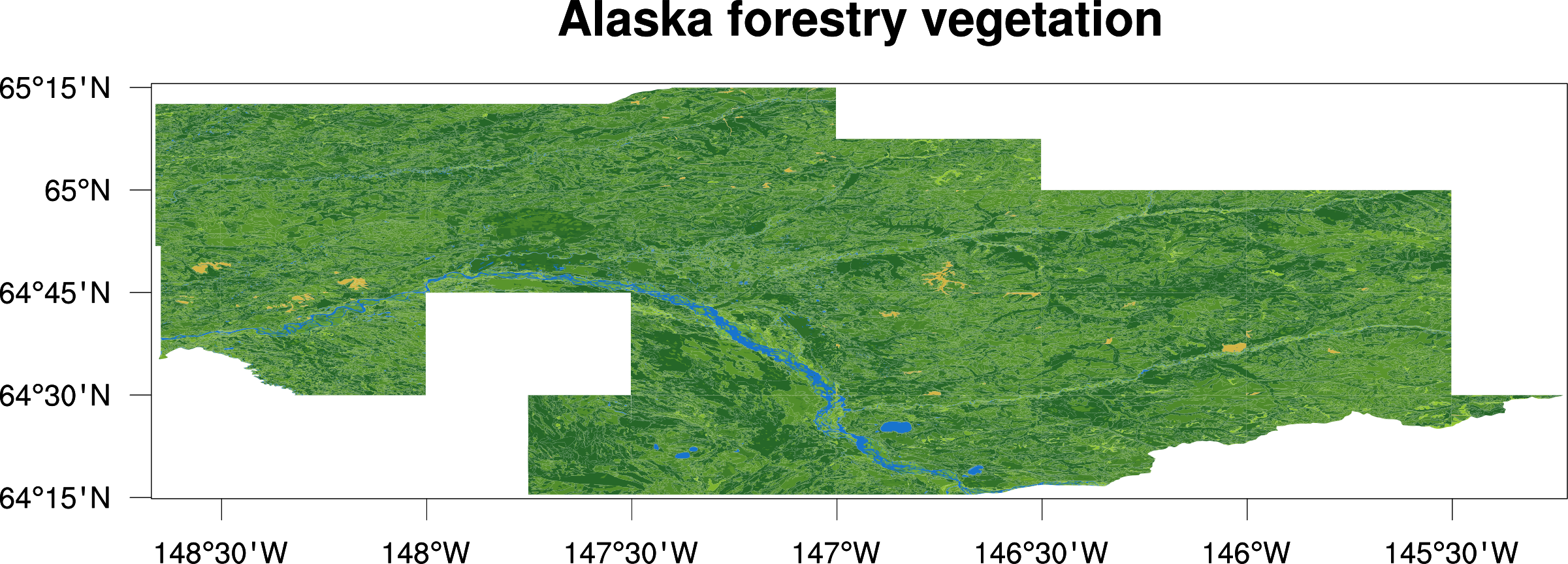
|