NCL scripts for plotting and regridding satellite data
[Main page | Scripts | Data]Click here for some examples of plotting ALADING data. Please also visit the Toulouse models applications page.
NCL has a suite of example scripts showing how to regrid data using ESMF software. You can regrid to and from rectilinear, curvilinear, and unstructured grids.
[Click on any image to see a larger version.]
| This dataset was given to us by Pierre Nabat, Météo-France. | |||
satellite_1.ncl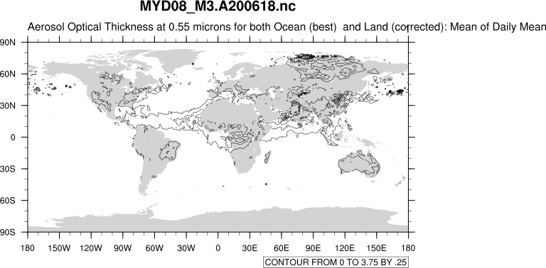
| satellite_2.ncl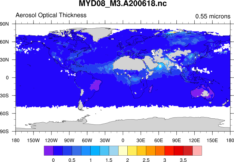
| satellite_3.ncl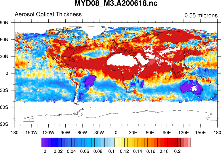
| satellite_4.ncl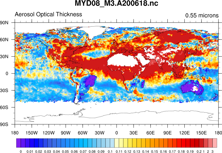
|
| This example shows how to regrid data on the above satellite grid to an ALADIN grid (PLPNM50-1.75.M2006.nc). Click here for an example of plotting ALADIN data. | ||
satellite_to_aladin_bilinear.ncl
| satellite_to_aladin_conserve.ncl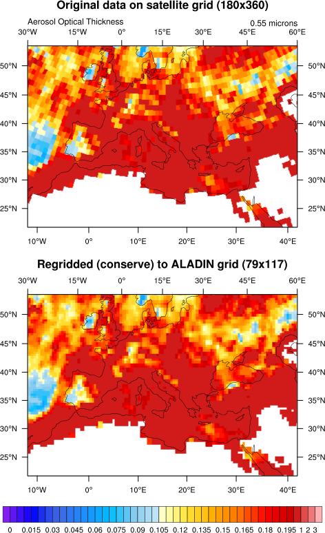
| satellite_to_aladin_compare.ncl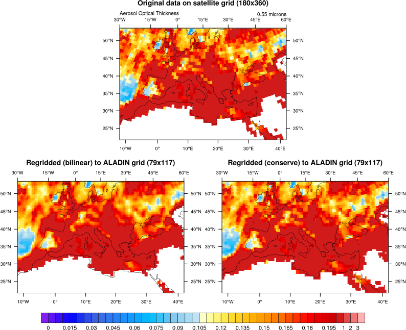
|